
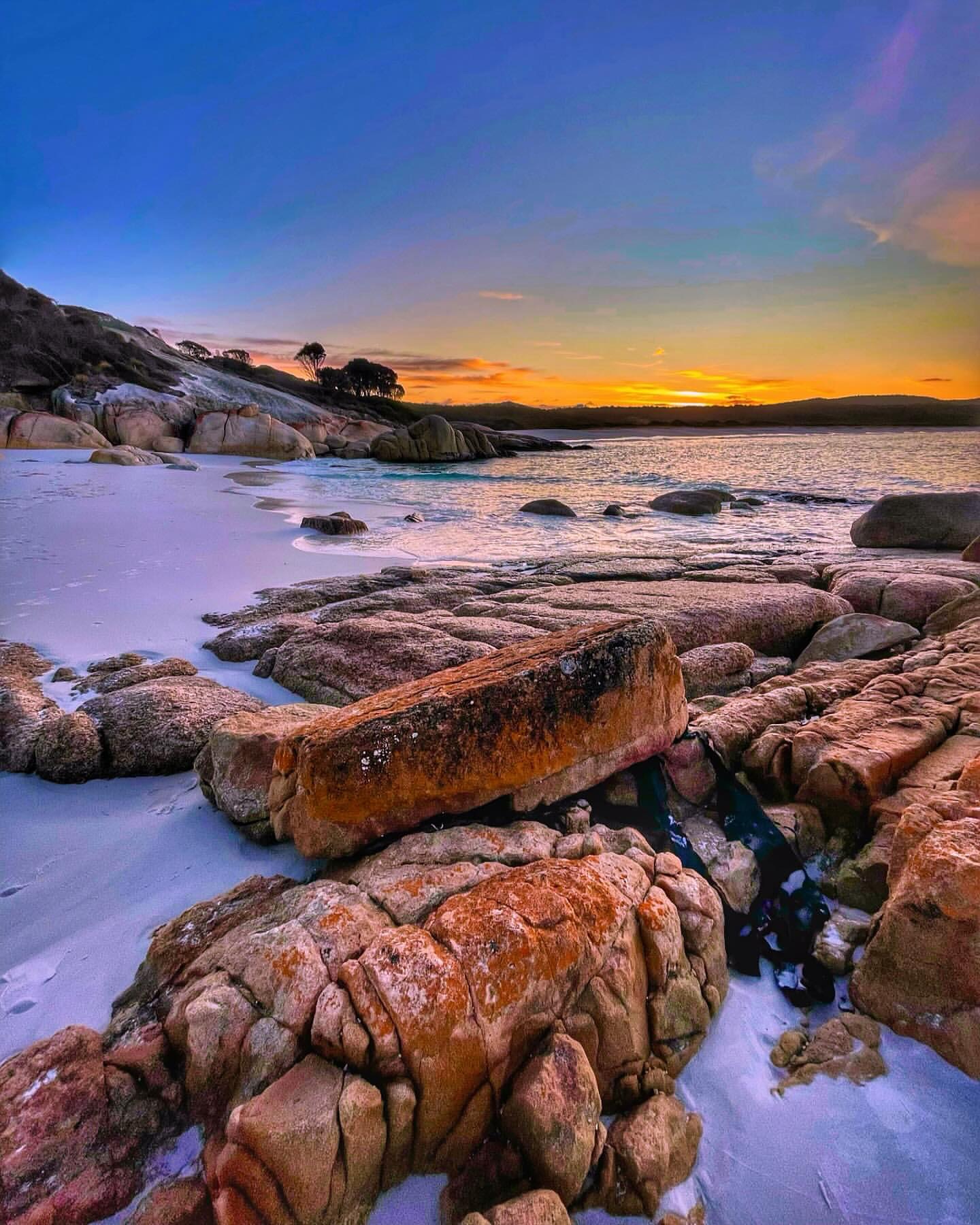
White sand, clear water and orange-lichen granite give the Bay of Fires its unmistakable look. The southern section is particularly easy to explore by road: Binalong Bay marks the southern end, while the sealed C848 continues north toward The Gardens.
How to get there
From St Helens, follow Binalong Bay Road (C850) to the coast. At the signed turn-off for The Gardens, take the C848 north. The road is sealed and continues through the southern section of the conservation area before ending at private land at The Gardens.
The northern section of the Bay of Fires is reached separately via Ansons Bay Road (C843) and Policemans Point Road. This guide focuses on the southern stretch between Binalong Bay and The Gardens.
What to see and do
Binalong Bay
Binalong Bay is the natural first stop. The beach combines pale sand, clear water and the orange lichen-covered granite that has become synonymous with this part of Tasmania.
The southern Bay of Fires is best understood as a sequence of coastal stops rather than one beach. Binalong Bay is the easiest base, then the road north gives access to Grants Lagoon, Jeanneret Beach, Swimcart Beach, Cosy Corner and smaller coves before reaching The Gardens.
There are no services once you leave the Binalong Bay and St Helens area, so carry drinking water and anything you expect to eat during the day.
Jeanneret Beach
Jeanneret Beach deserves more than a name in the list of stops. It sits north of Binalong Bay on The Gardens Road, with pale sand, clear shallows and granite at either end. It is one of the better places to stop for a proper beach walk rather than simply photographing the roadside coves.
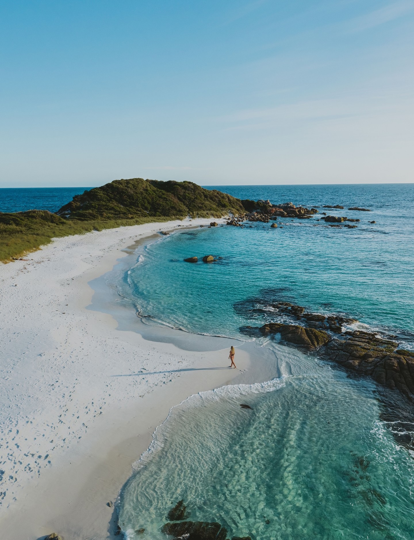
A designated free campground sits behind the beach, but facilities are basic. If you are only visiting for the day, use the signed public access and leave enough time to continue north to Swimcart, Cosy Corner and The Gardens.
The coastal road to The Gardens
The C848 carries on through the southern section toward The Gardens, with signed public access points and beachside campgrounds along the way. The road is simple to follow, so the best approach is to allow time for stops rather than treating The Gardens as the only destination.
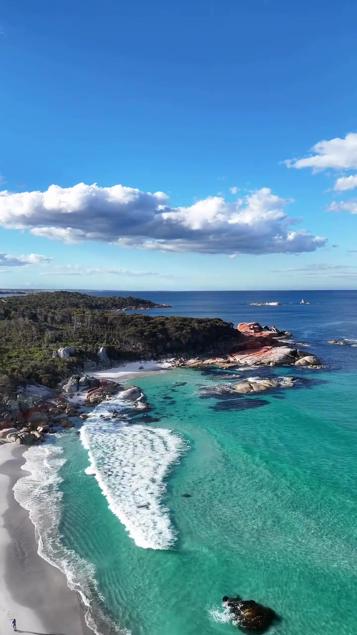
The Gardens is the end of the sealed public road rather than a through route. The road terminates at private land, so plan to return the same way. The value is in the stops along the road: short beach access tracks, granite headlands and coves appear repeatedly rather than at one single viewpoint.
Beachside camping
Designated campgrounds include Grants Lagoon, Jeanneret Beach, Swimcart Beach, Cosy Corner South, Cosy Corner North, Seatons Cove and Sloop Reef. Camping is free and no booking is required, but camping is permitted only in designated campgrounds.
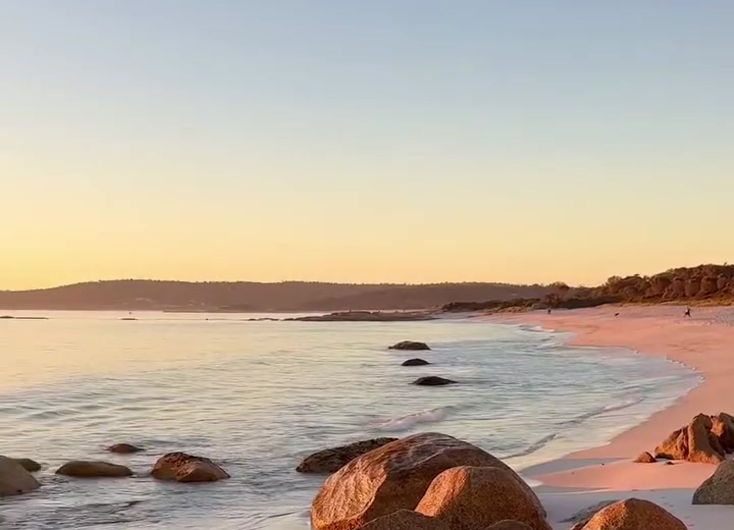
Facilities vary significantly between campgrounds. Most are basic bush sites with pit or hybrid toilets rather than serviced holiday parks, and some day-use areas such as Taylors Beach have no toilets at all. Arrive self-contained and use designated sites only.
Walking, water and wildlife
Long beach walks, swimming in protected bays, fishing, kayaking, snorkelling and diving are all possible here. Binalong Bay and The Gardens are also part of the East Coast Whale Trail, with humpback and southern right whales seen during migration periods. Dolphins and seals also occur along this coast.
How much time to allow
For a short visit, focus on Binalong Bay and one or two stops along the road toward The Gardens. Half a day gives more room for beach walks and unhurried stops. A full day suits a slower visit with more time on the coast or in the water.
Practical notes
- Stock up on food and fuel in St Helens before heading into the conservation area.
- Bay of Fires beaches can have steep drop-offs and rips, so assess swimming conditions carefully.
- The northern section from the mouth of the Ansons River to larapuna/Eddystone Point lies within Mount William National Park and requires a valid parks pass.
- Avoid driving in reserves at night where possible because wildlife is active on the roads.
- Seasonal campfire bans are in force from 26 October 2026 across reserved land at Bay of Fires and Mount William National Park. Campfires, pot fires and other solid-fuel stoves are prohibited; gas stoves and gas barbecues are permitted. Check the current Parks Tasmania campfire rules before camping.
- The southern Binalong Bay-to-The Gardens section is the easiest part to explore without entering Mount William National Park; a parks pass is required if you continue into the national park section further north.
- Campground toilet and vehicle-suitability arrangements differ between sites, so check the current campground table if travelling with a caravan or larger campervan.
A suggested plan
Start at Binalong Bay, then follow the C848 toward The Gardens, using signed public access points and designated campground areas for stops. Return via the same road to Binalong Bay and St Helens.