All our guides in one place.
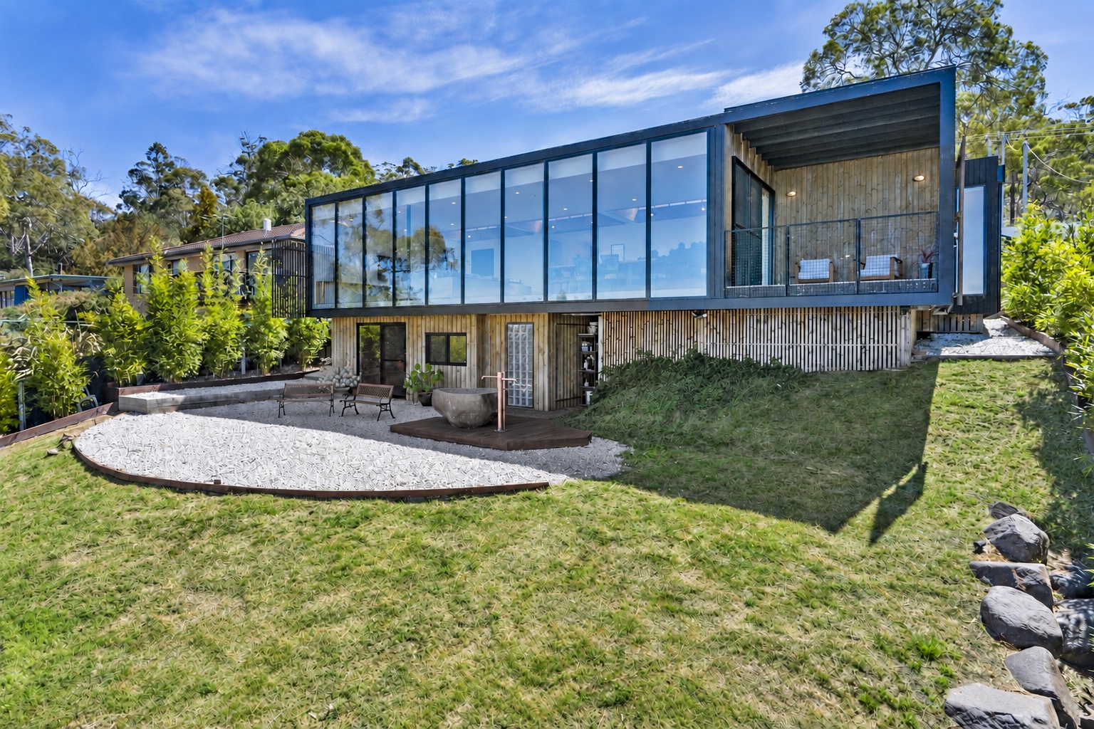
Penna waterfront retreat
A stunning waterfront retreat with private beach access and an outdoor bath.
Explore the stay →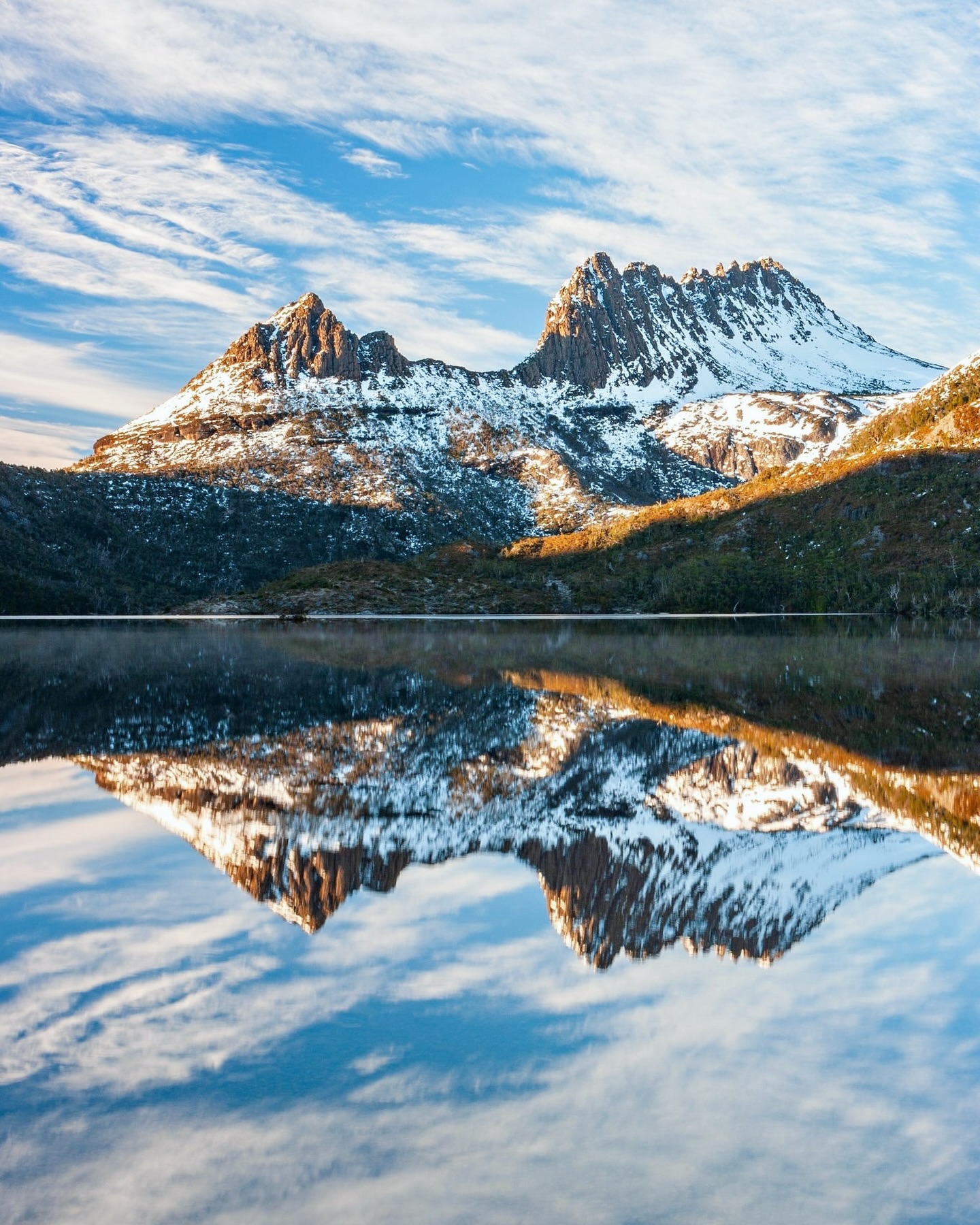
A day at Cradle Mountain
Dove Lake as the anchor, with enough flexibility to let the weather decide the rest.
Read the guide →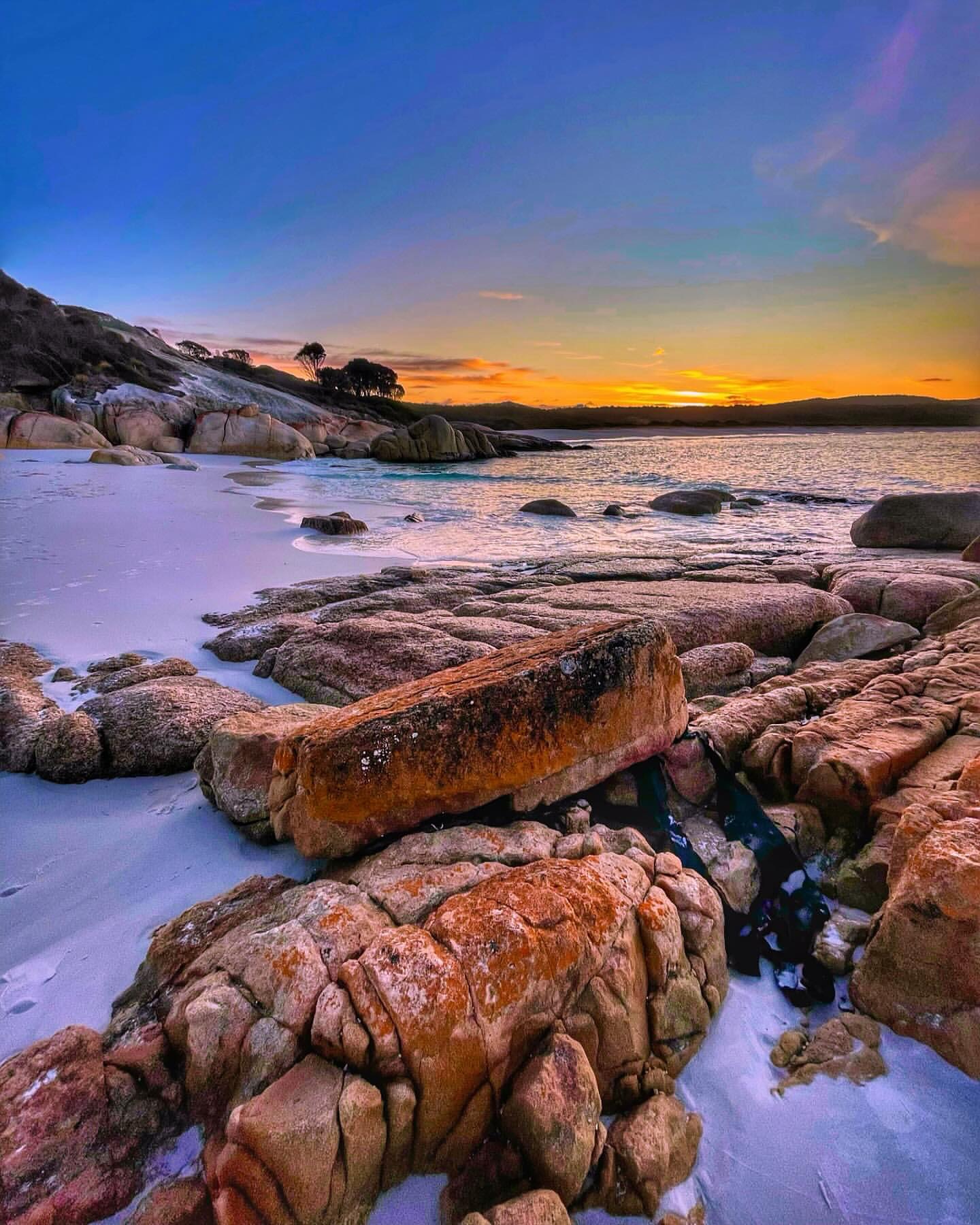
Bay of Fires at golden hour
A slow drive from Binalong Bay toward The Gardens, with the best light saved for last.
Read the guide →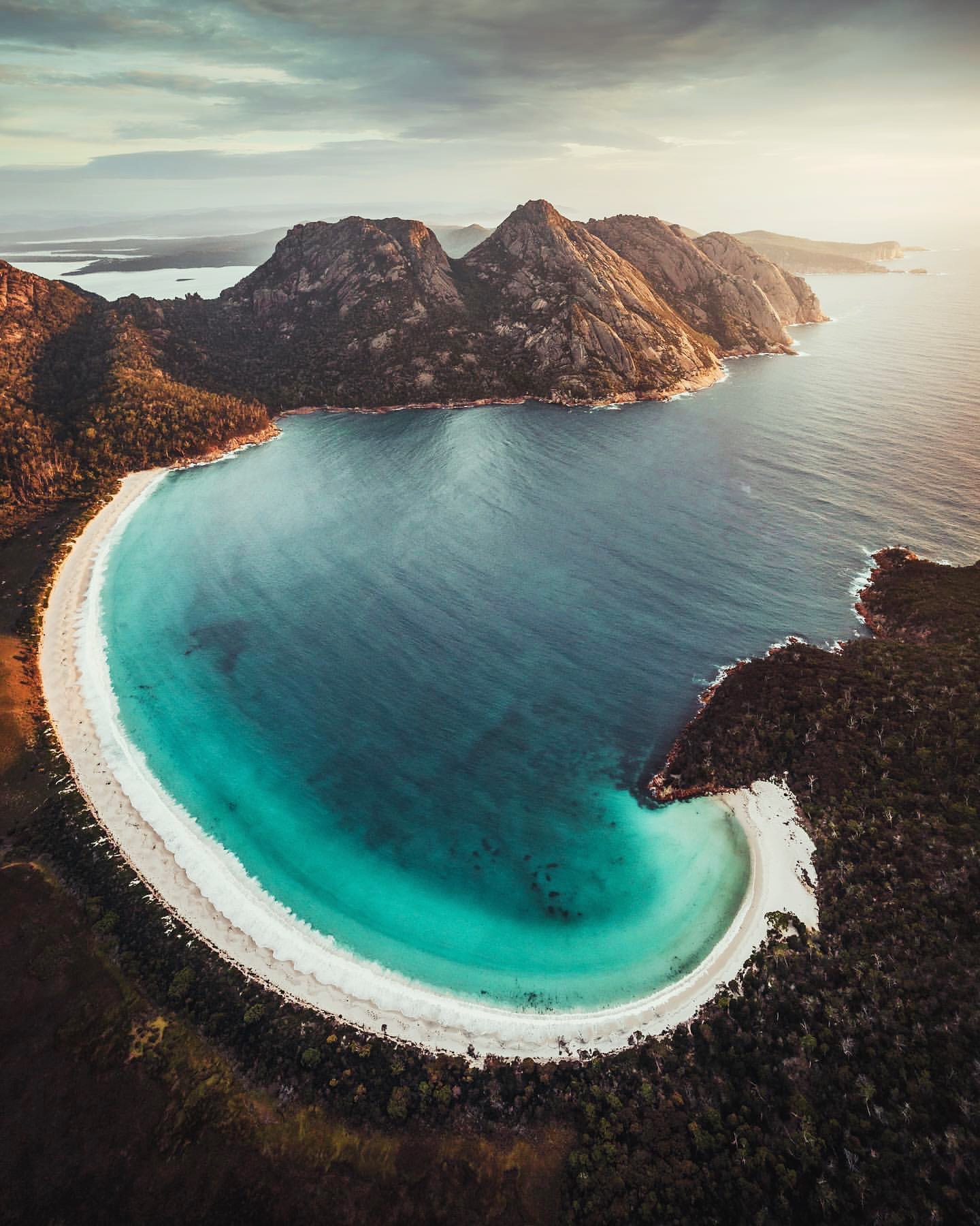
Wineglass Bay beyond the lookout
The classic view is only the start. A proper half-day walk reveals much more of Freycinet.
Read the guide →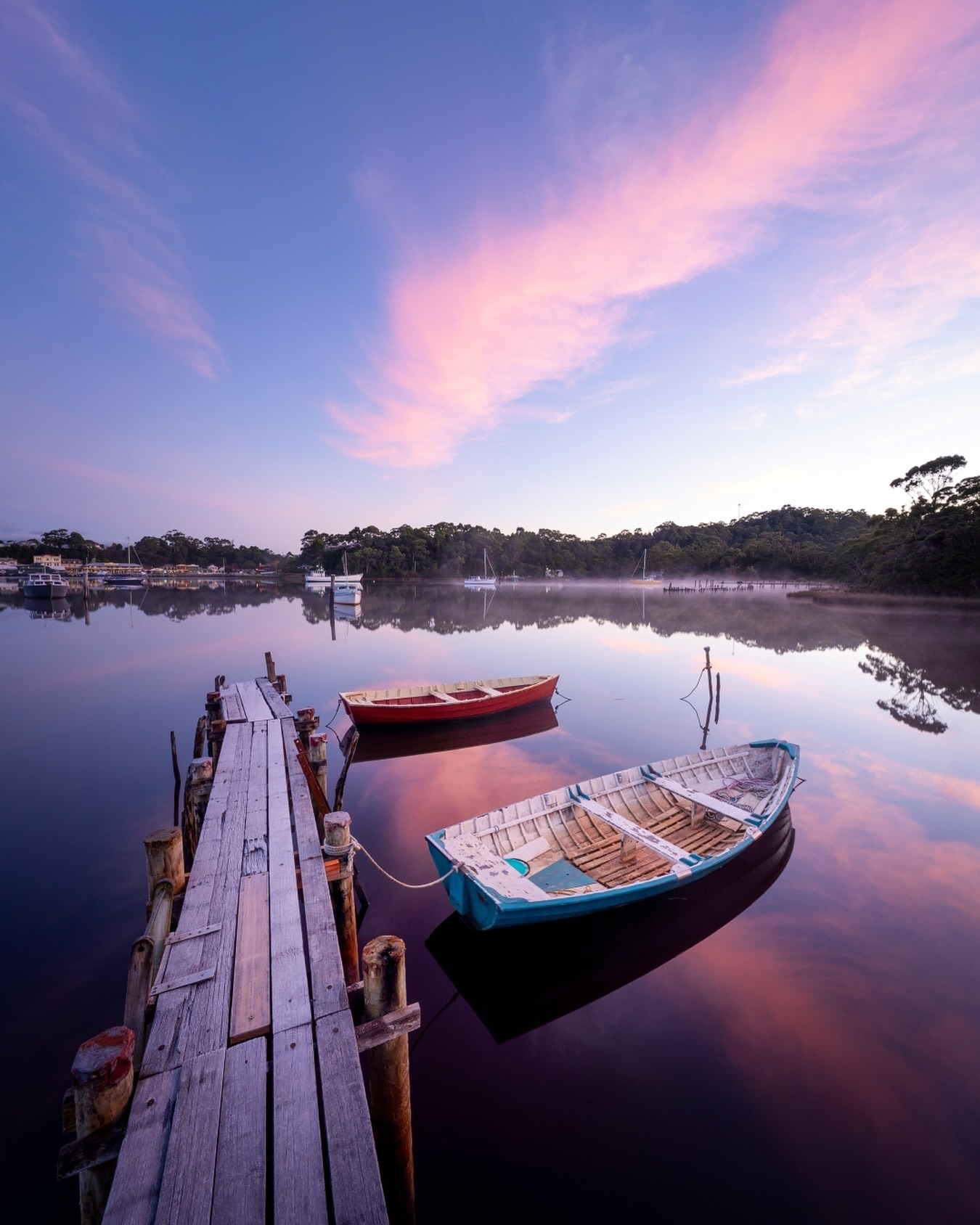
Into the Gordon River from Strahan
Cross Macquarie Harbour into tannin-dark river water, rainforest and the history of Sarah Island.
Read the guide →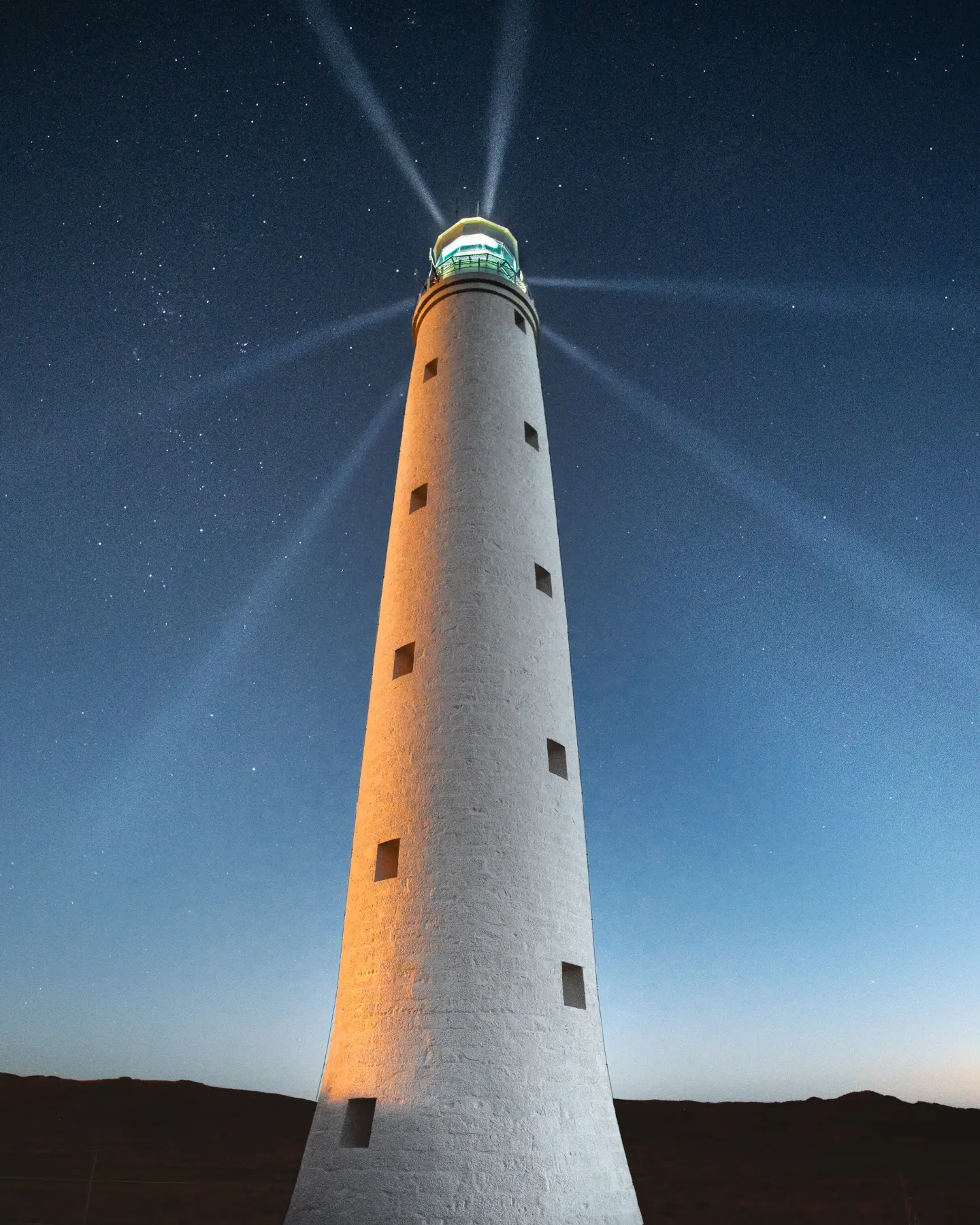
King Island, shaped by Bass Strait
Drive between lighthouses, wild coast, island reserves and small towns, with excellent food and golf along the way.
Read the guide →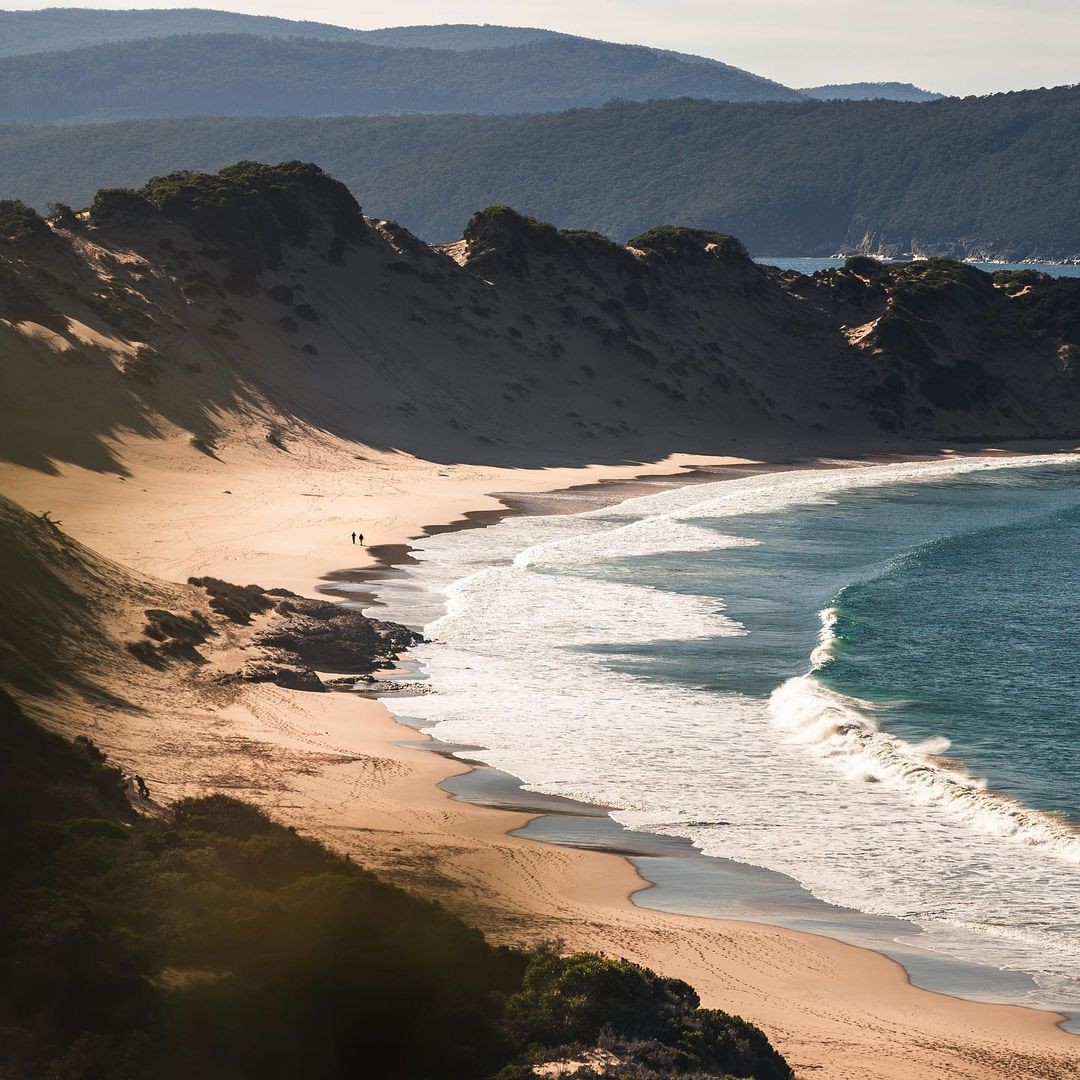
The walk into Crescent Bay
From Remarkable Cave, the track follows the Tasman Peninsula coast to a broad, dune-backed beach.
Read the guide →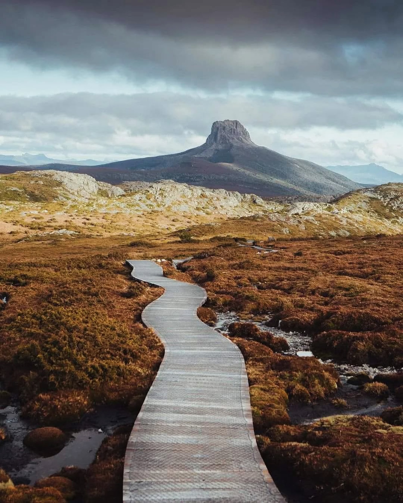
Six days on the Overland Track
Walk from Ronny Creek to Lake St Clair through alpine plateaus, rainforest, high peaks and the Du Cane country.
Read the guide →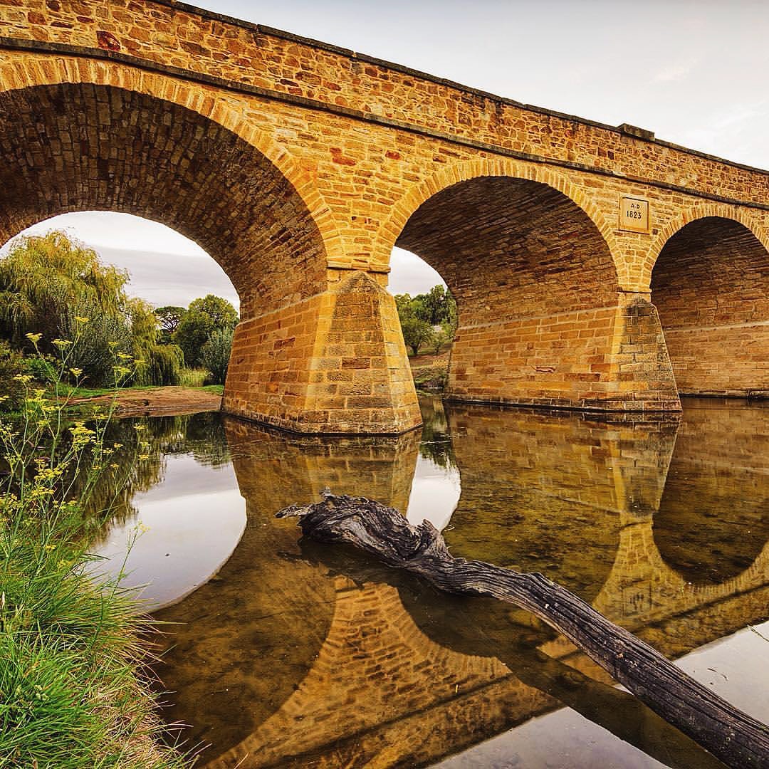
A half-day in Richmond
Walk from Richmond Bridge through a compact Georgian town of sandstone buildings and convict-era history.
Read the guide →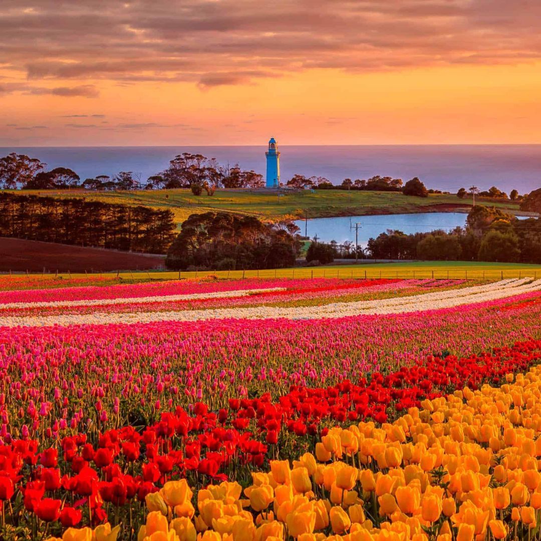
From Fossil Bluff to Table Cape
Link Wynyard's waterfront with Fossil Bluff and the high coastal views around Table Cape and its lighthouse.
Read the guide →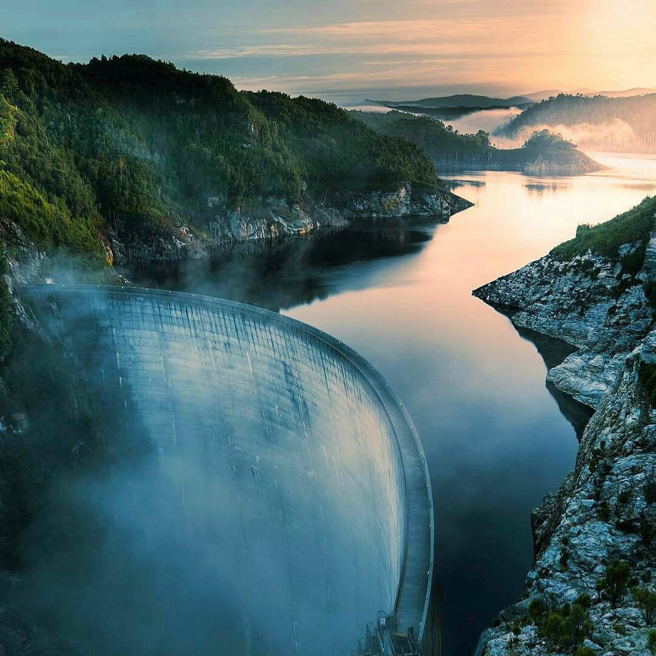
The road to Gordon Dam
Drive beyond Lake Pedder to the end of Gordon River Road, then walk onto Tasmania's 140 m arch dam.
Read the guide →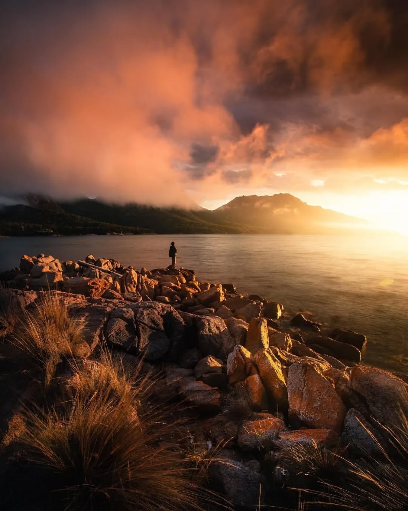
Freycinet beyond Wineglass Bay
See the wider park through Richardsons Beach, Honeymoon Bay, Cape Tourville, Sleepy Bay and the Hazards.
Read the guide →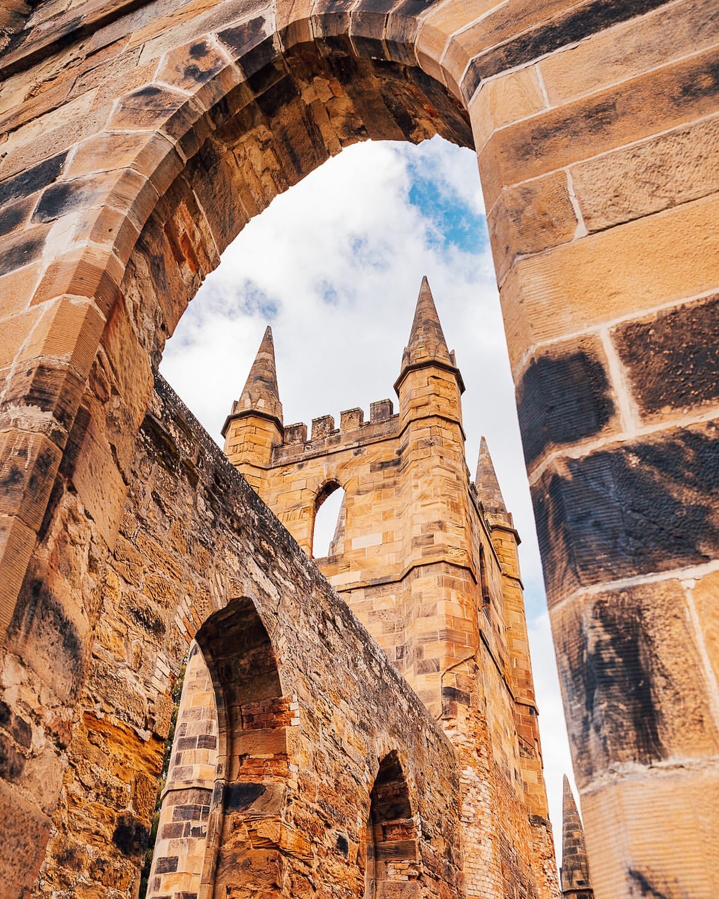
Inside Port Arthur Historic Site
Walk the penitentiary, church and surviving houses, then see the former settlement from the harbour.
Read the guide →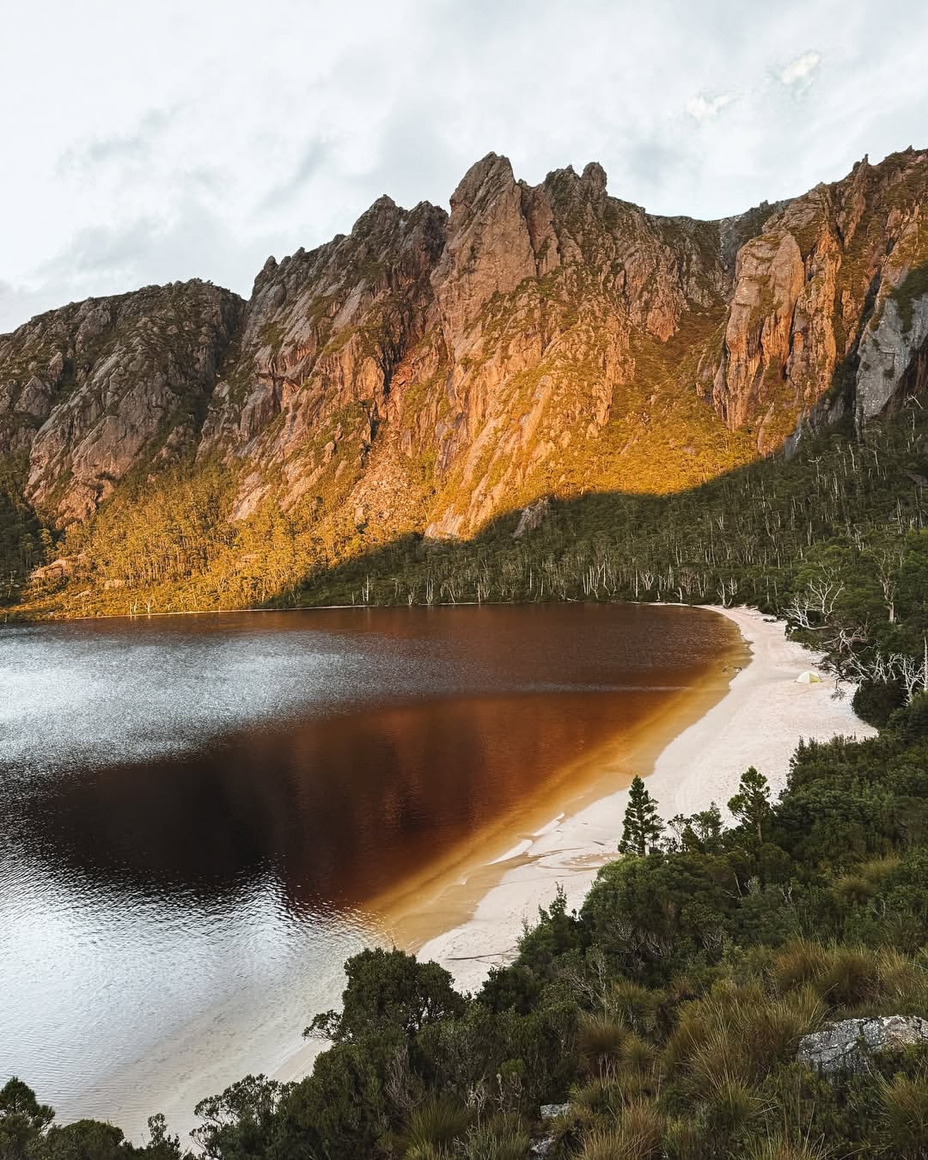
Lake Rhona above the Gordon
Cross the Gordon River and climb to a remote alpine basin of quartzite sand and dark water.
Read the guide →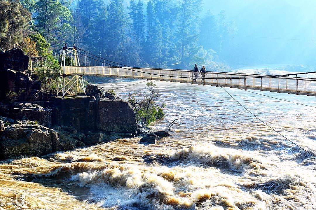
A walk through Cataract Gorge
Walk in from the city or start at First Basin, then follow the gorge towards Cliff Grounds and Duck Reach.
Read the guide →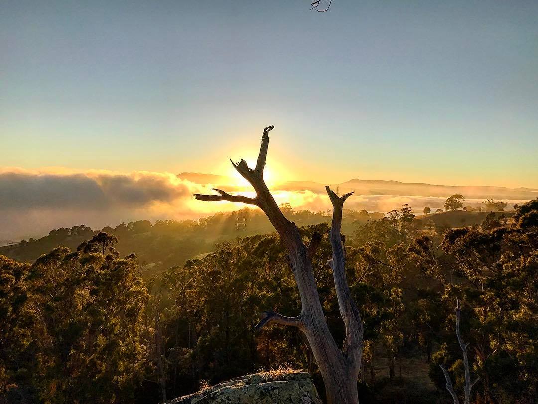
The Tamar Valley from Brady's Lookout
Follow the west bank through wetlands and vineyard country to Brady's Lookout, Beaconsfield and Beauty Point.
Read the guide →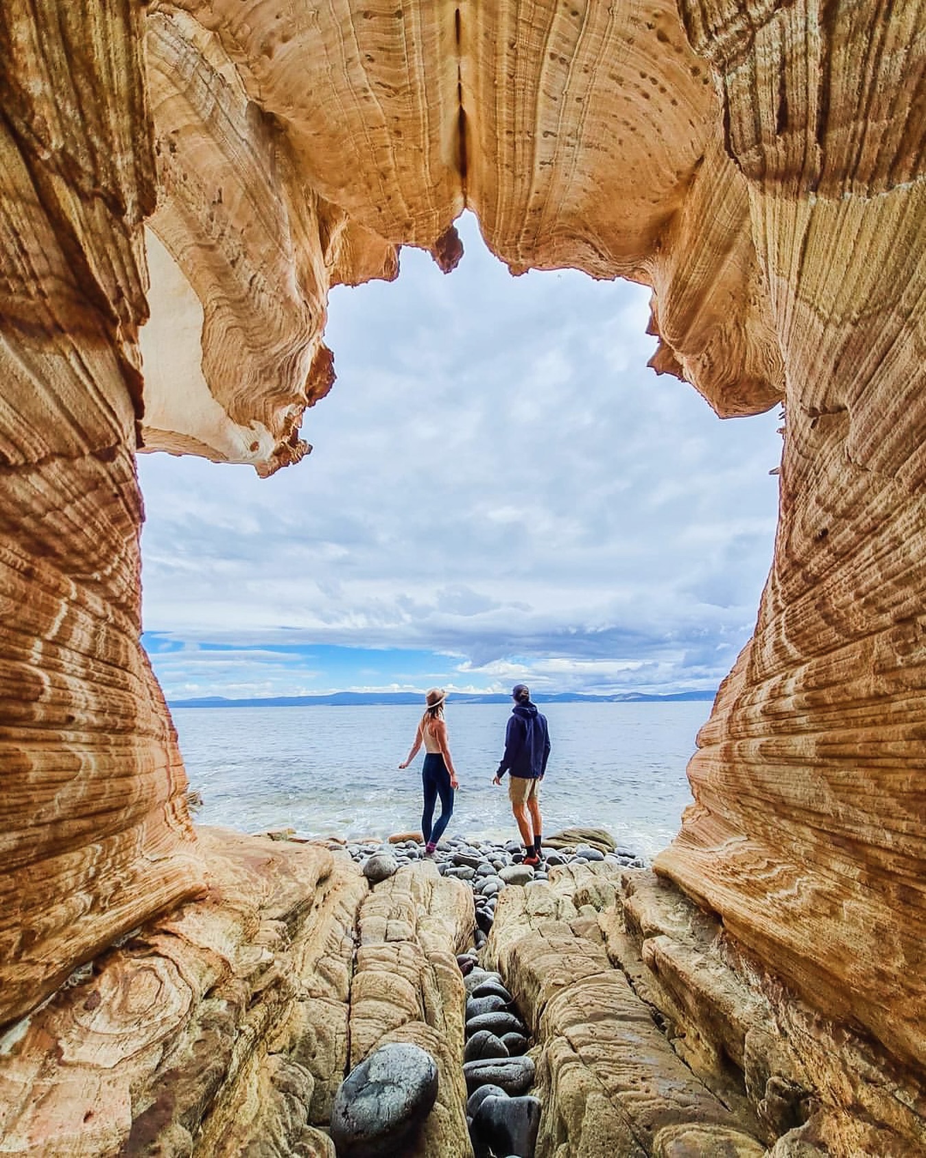
A day on Maria Island
Leave the car in Triabunna for a day of wombats, convict-era Darlington, Fossil Cliffs and Painted Cliffs.
Read the guide →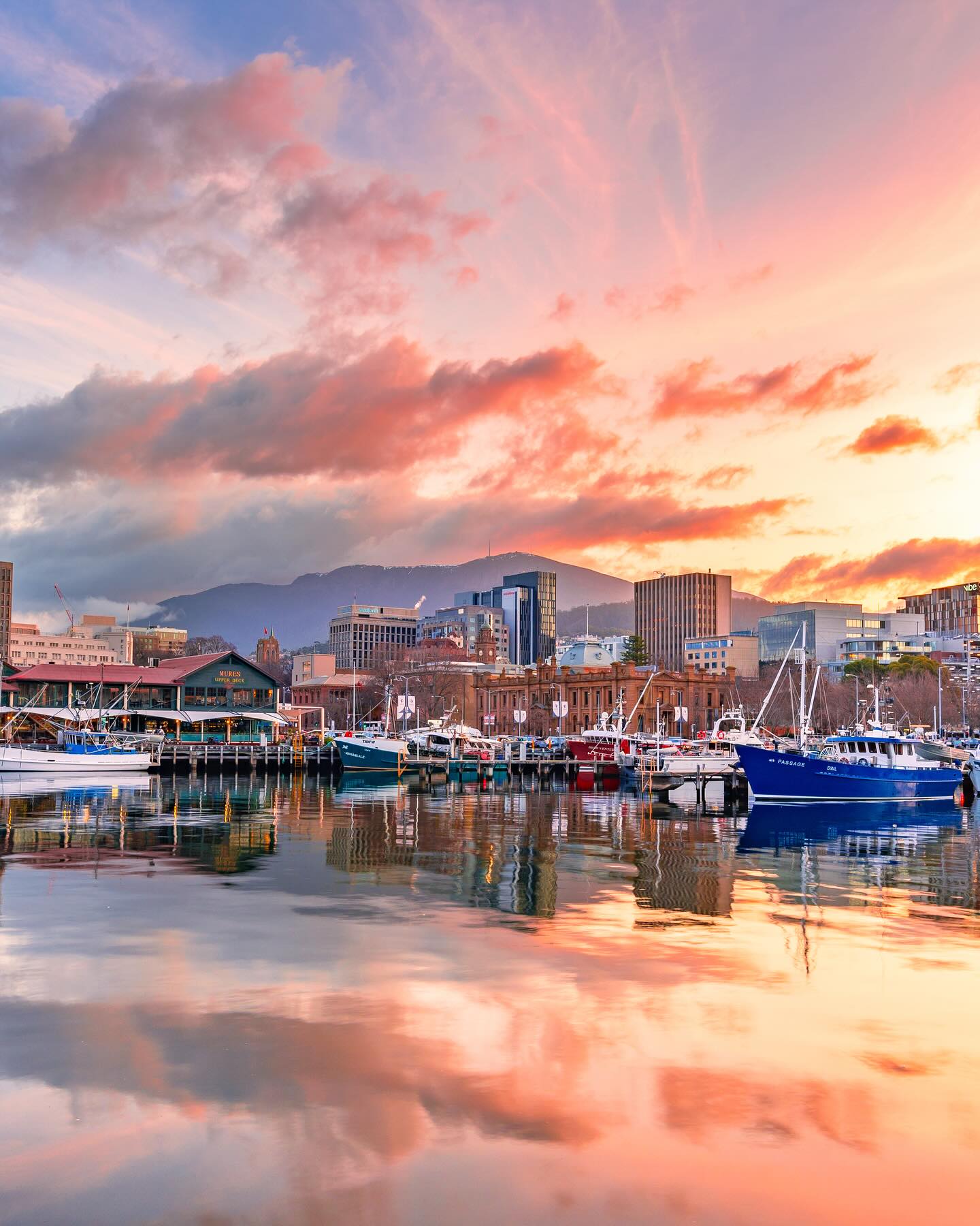
Hobart from Battery Point to the waterfront
Walk through Battery Point and Salamanca to the docks, with worthwhile detours west and across the Derwent.
Read the guide →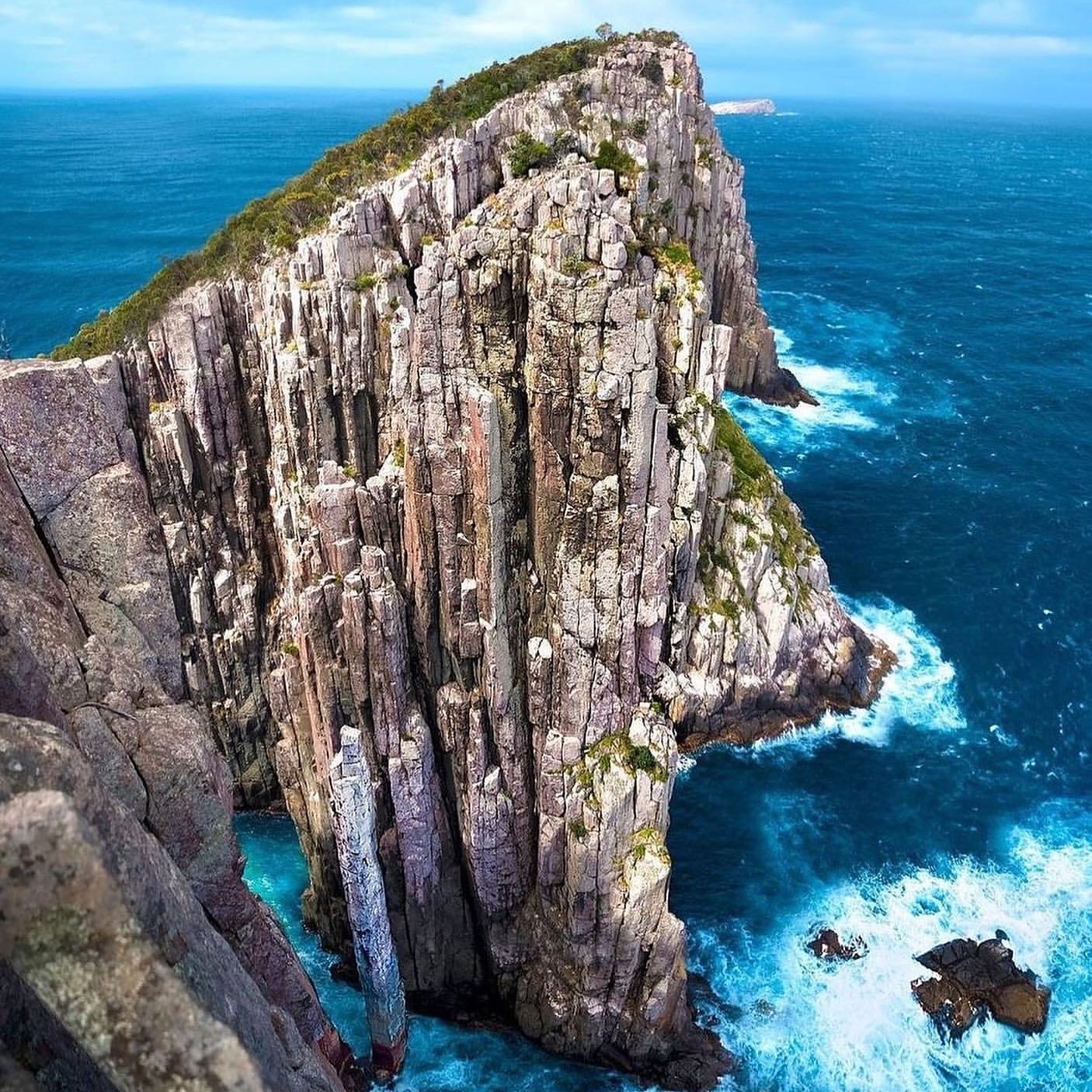
Out to the edge at Cape Hauy
Climb from Fortescue Bay to the dolerite cliffs, Totem Pole and open Tasman Sea at Cape Hauy.
Read the guide →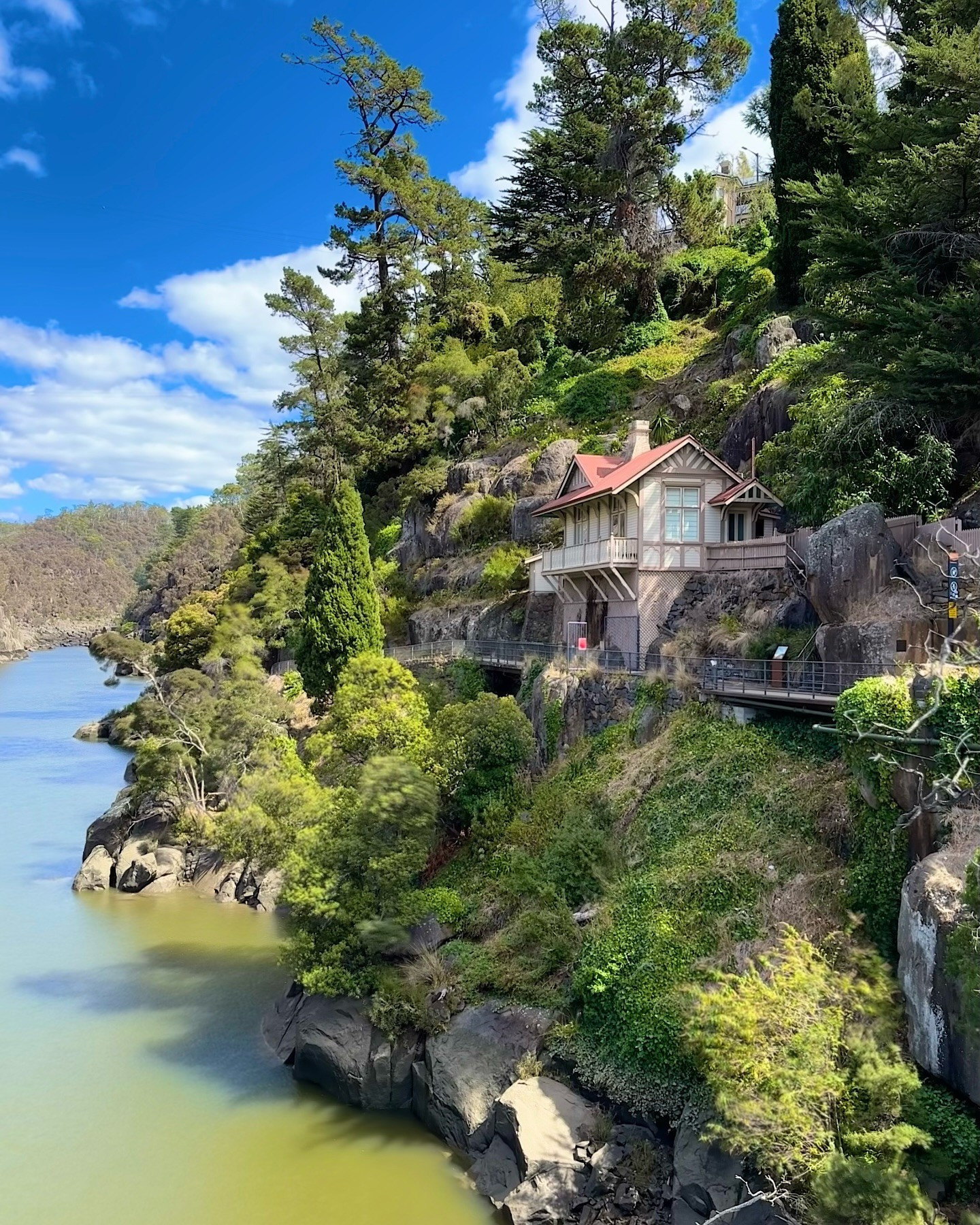
Launceston where the rivers meet
Walk heritage streets between City Park, QVMAG and the riverfront, with time left for the food culture that gives the city its own pace.
Read the guide →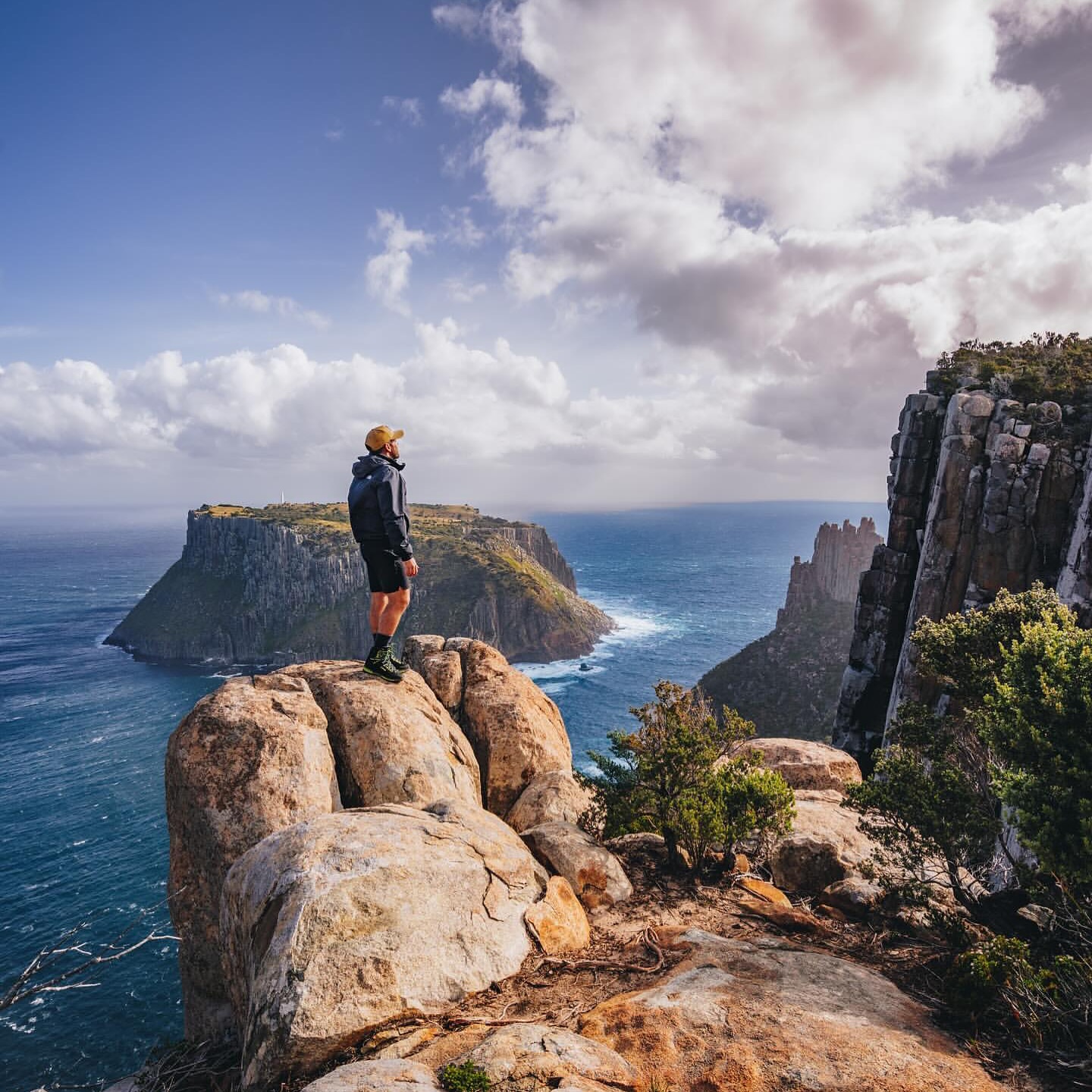
Above the Tasman Sea at Cape Pillar
Choose the hut-based Three Capes Track or an independent route to the dolerite cliffs above Tasman Island.
Read the guide →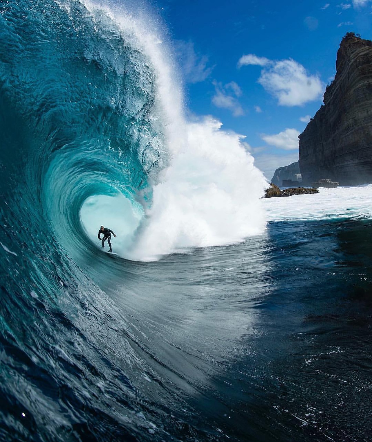
Walking to Shipstern Bluff
Walk from Stormlea to cliff-top views above Shippies, with a longer option continuing towards Tunnel Bay.
Read the guide →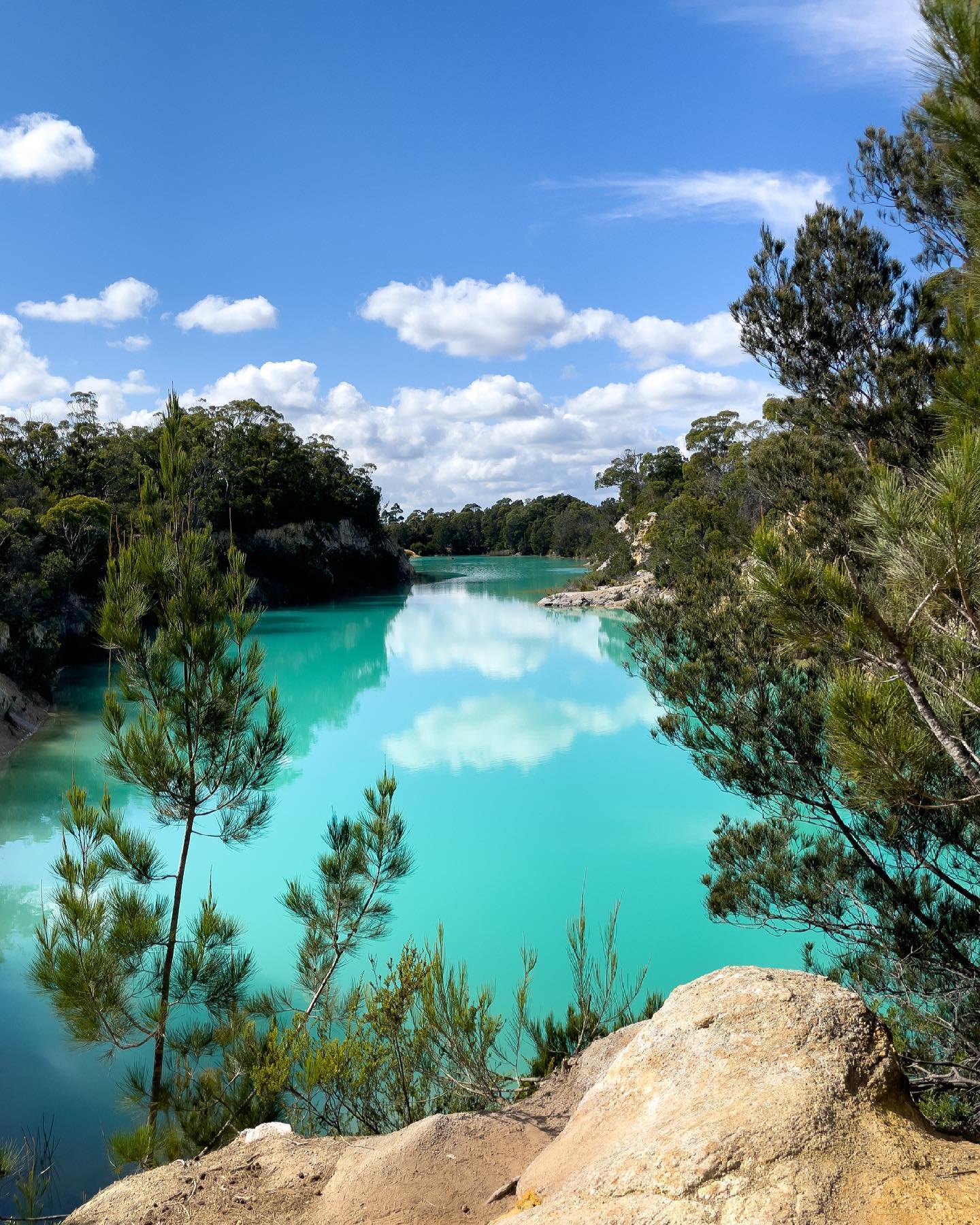
A roadside stop at Little Blue Lake
Stop beside Gladstone Road for vivid turquoise water shaped by north-east Tasmania's tin-mining past.
Read the guide →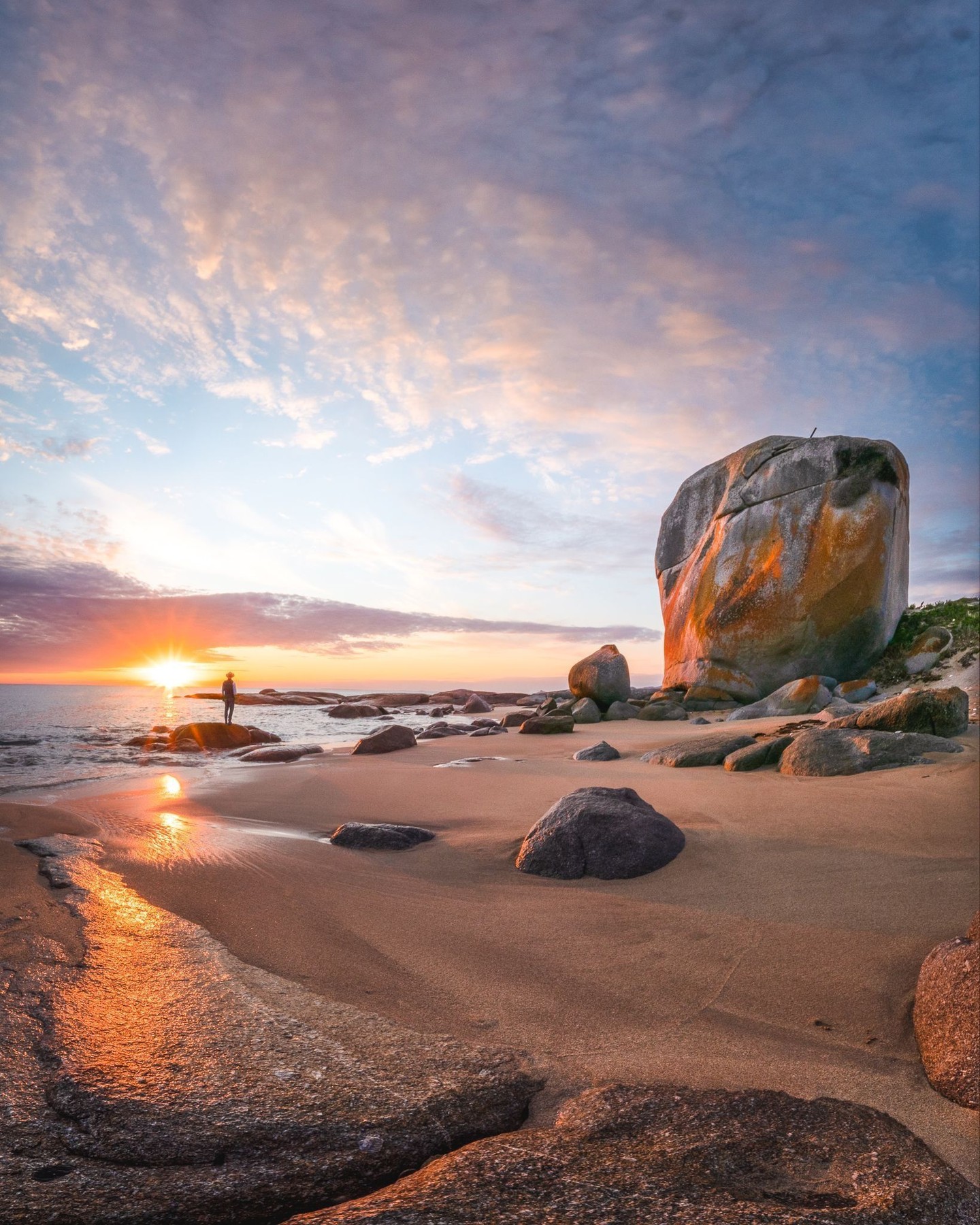
Flinders Island, between granite and sea
Cross granite mountains, quiet beaches and island roads from Castle Rock to Trousers Point and Killiecrankie.
Read the guide →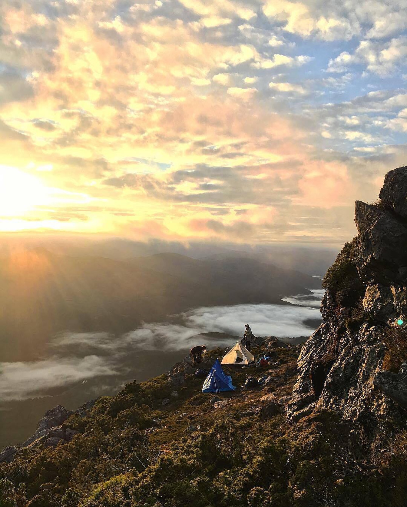
Above Tullah on Mount Murchison
A steep West Coast climb through mossy forest, exposed ridge and glacial terrain above Tullah.
Read the guide →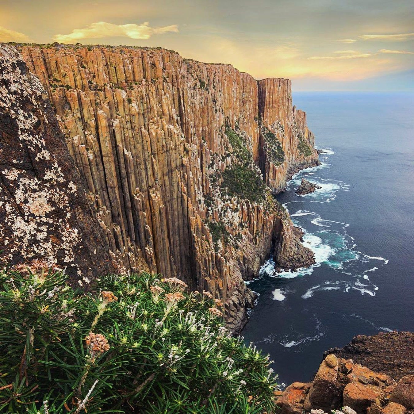
The long walk to Cape Raoul
Five hours through forest and heath to some of the Tasman Peninsula's most formidable sea cliffs.
Read the guide →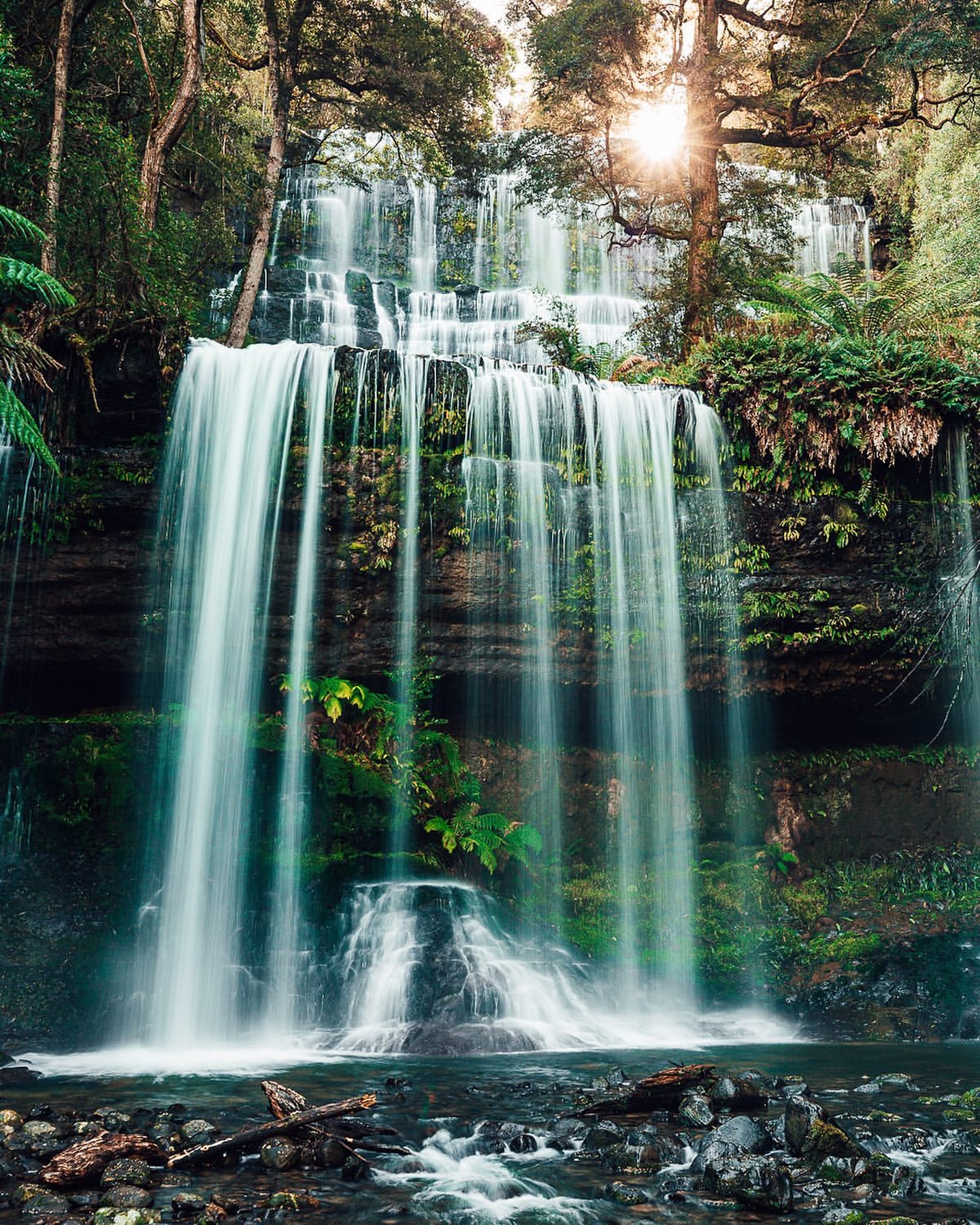
From Russell Falls to the Tarn Shelf
Move from fern-filled rainforest to Lake Dobson and the glacial tarns of Mount Field's high country.
Read the guide →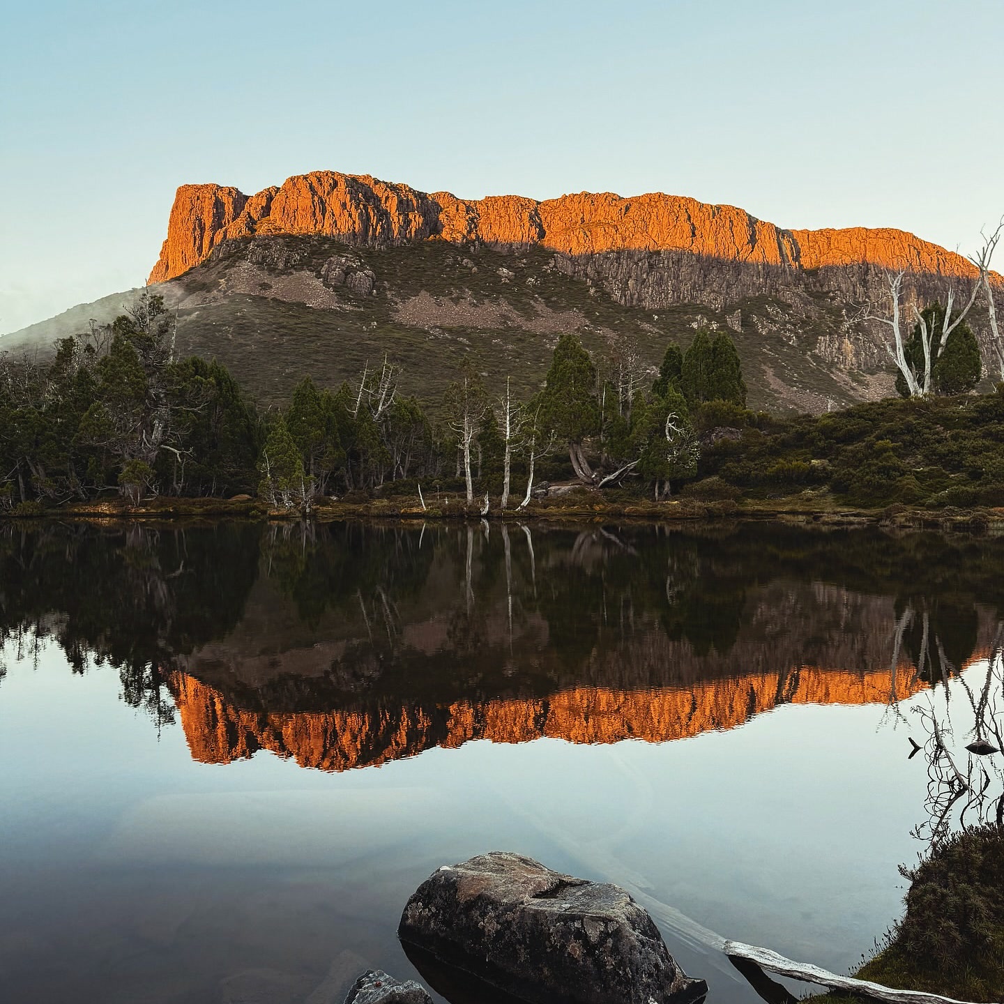
Into the Walls of Jerusalem
A three-day alpine circuit of tarns, pencil pines and dolerite walls, reached only on foot.
Read the guide →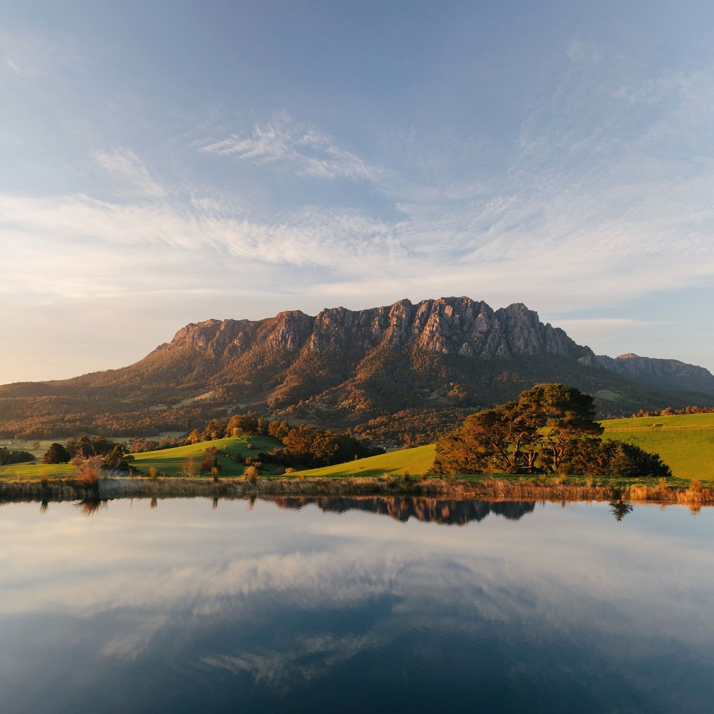
Above Sheffield on Mount Roland
Climb from eucalypt forest to buttongrass plateau and a rocky 1,233 m summit above Kentish.
Read the guide →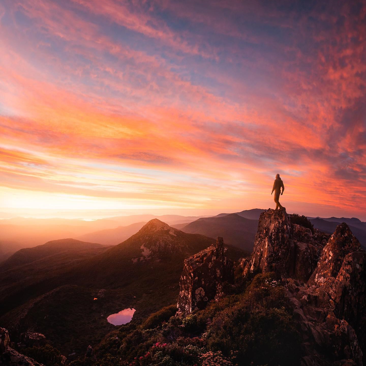
Above the tarns at Hartz Peak
Follow Lake Esperance to an exposed summit above Tasmania's south-west wilderness.
Read the guide →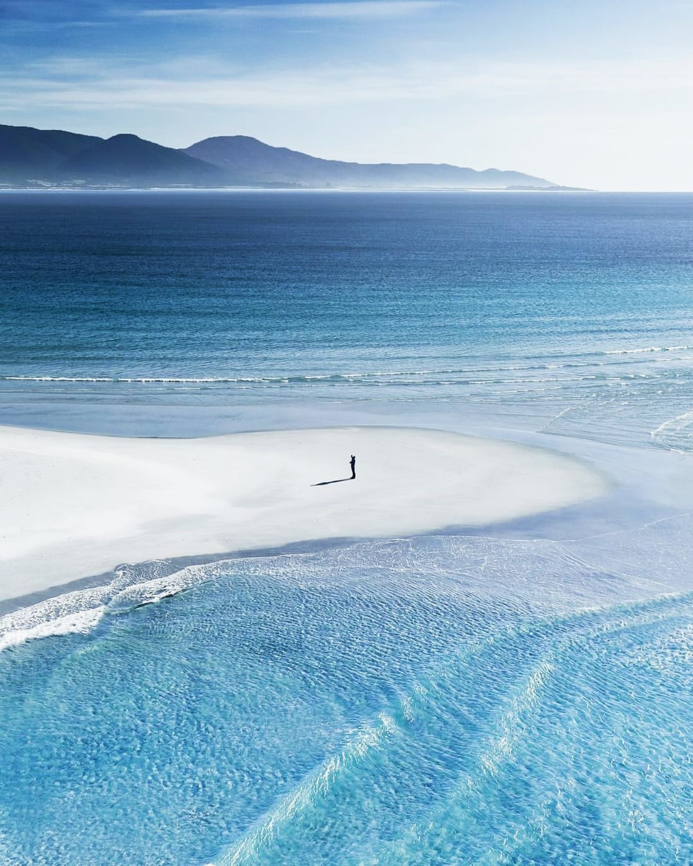
Bicheno along the waterline
Follow the coast from Redbill Beach and Diamond Island to Waubs Bay, the Gulch, the Blowhole and penguins at dusk.
Read the guide →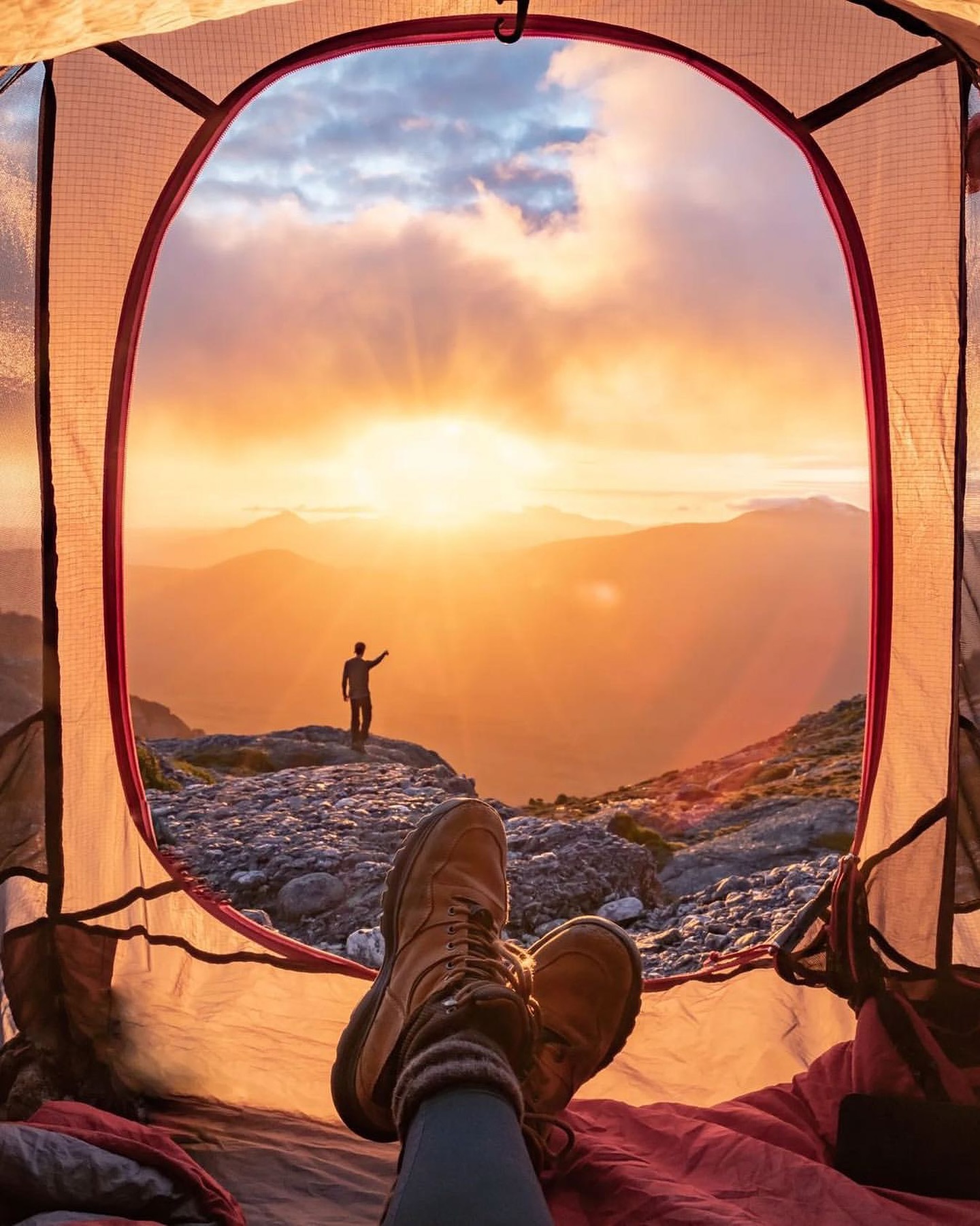
Into the Tyndall Range
A serious West Coast alpine route through tarns, ridges and exposed terrain in Tyndall Regional Reserve.
Read the guide →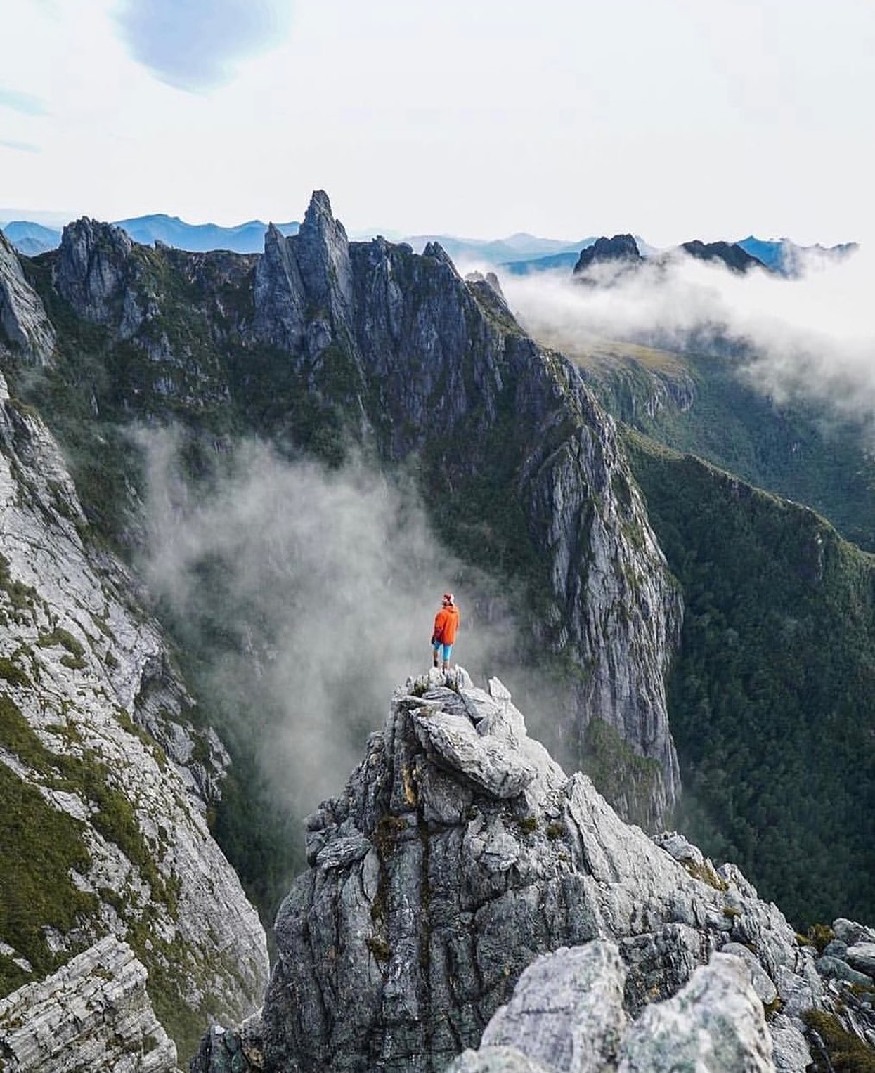
Beneath Federation Peak in the Eastern Arthurs
Understand the serious Eastern Arthur Range Traverse without treating Federation Peak as a routine summit objective.
Read the guide →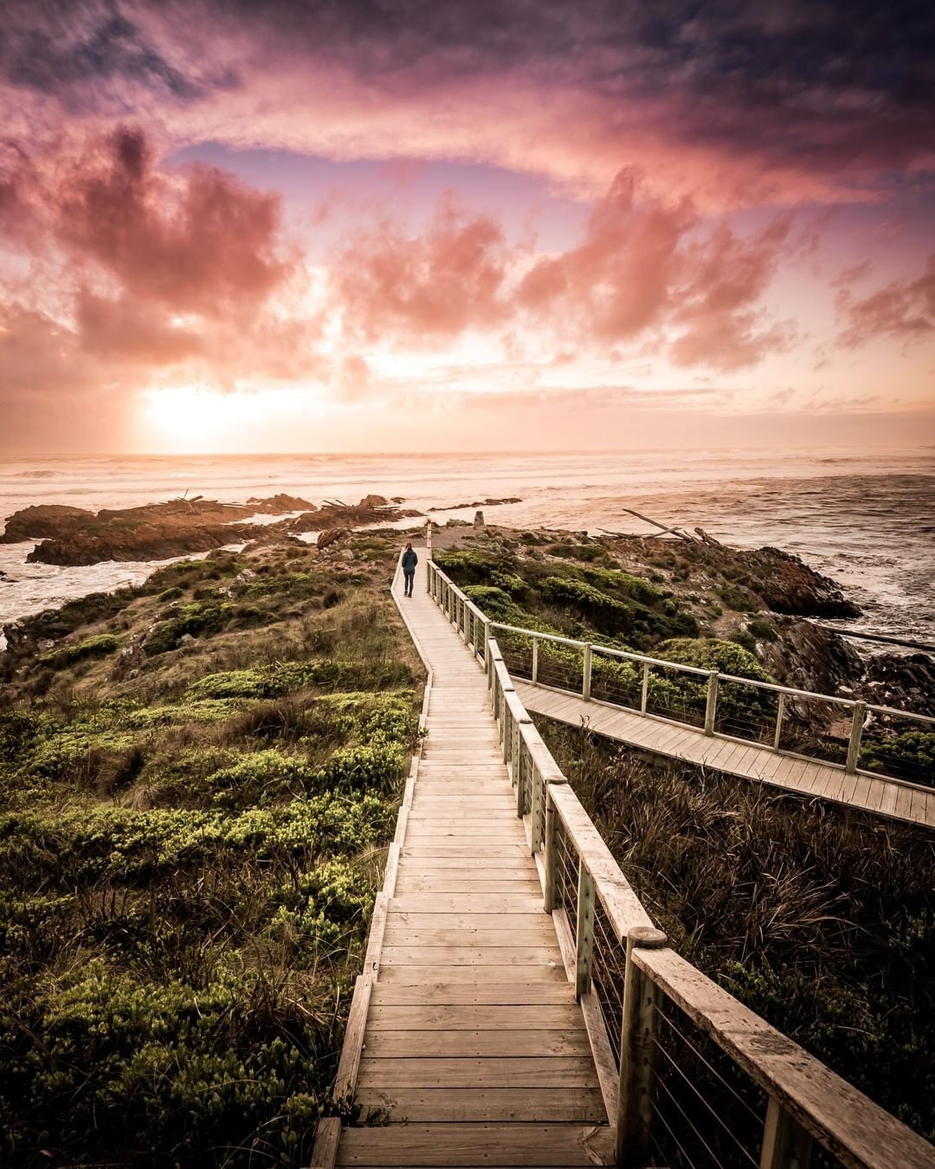
At the Edge of the World
Follow the far north-west road to Arthur River and the boardwalk at Gardiner Point above the open Southern Ocean.
Read the guide →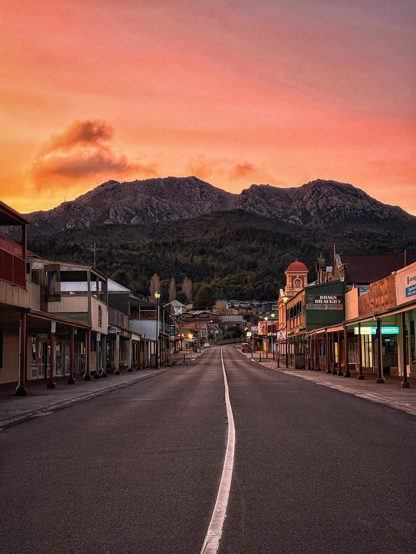
Queenstown beneath the West Coast Range
Explore the mining streets, lookouts and mountain roads that make Queenstown one of Tasmania's most distinctive towns.
Read the guide →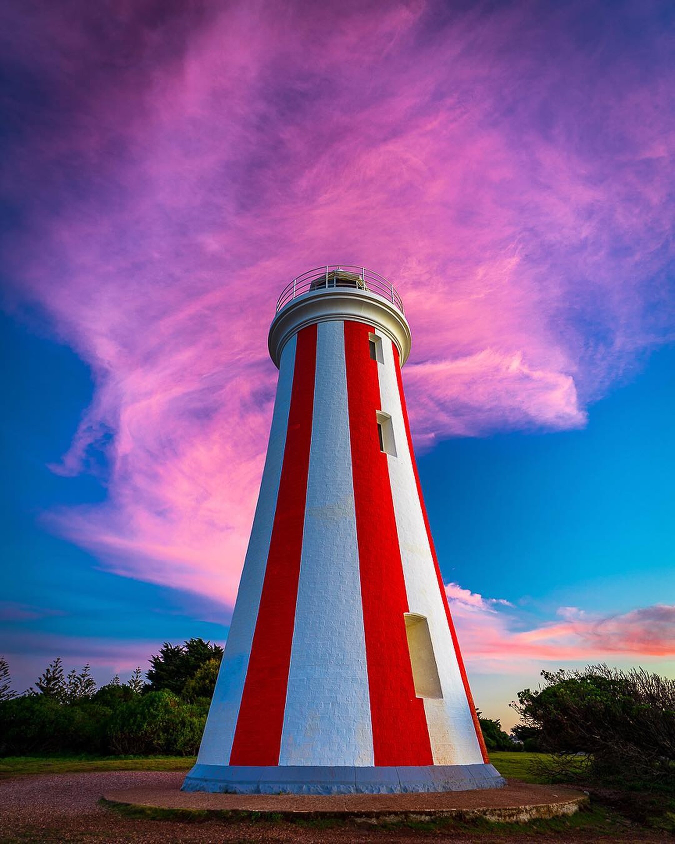
Devonport around Mersey Bluff
Walk the lighthouse headland, cultural landscape, beaches and foreshore around Devonport’s Mersey Bluff.
Read the guide →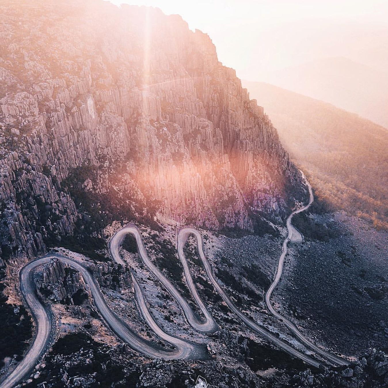
Up Jacob's Ladder to Ben Lomond
Climb the switchbacks by road, then step onto the exposed plateau above north-east Tasmania.
Read the guide →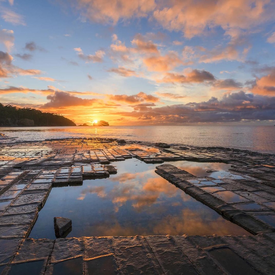
Eaglehawk Neck, carved by the sea
Follow a compact coastal circuit through Tessellated Pavement, the Blowhole, Tasman Arch, Devils Kitchen and Waterfall Bay.
Read the guide →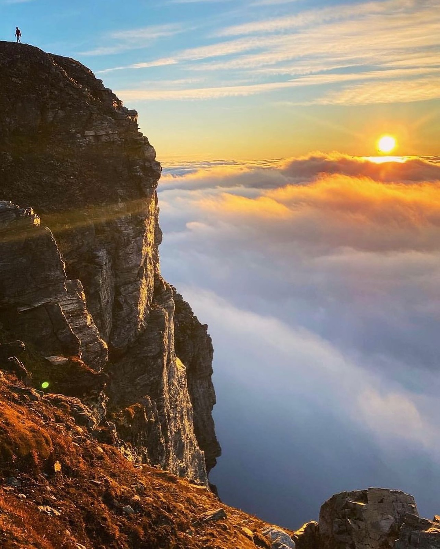
Frenchmans Cap above the Franklin
Climb through rainforest and glacial lakes towards the white quartzite summit above the Franklin River.
Read the guide →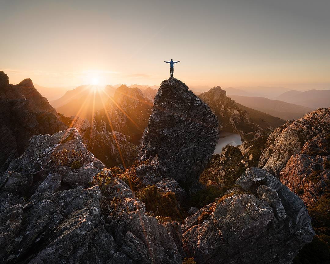
Across the Western Arthurs
A Grade 5 traverse through high quartzite ridges, hanging lakes and some of Tasmania’s most demanding multi-day terrain.
Read the guide →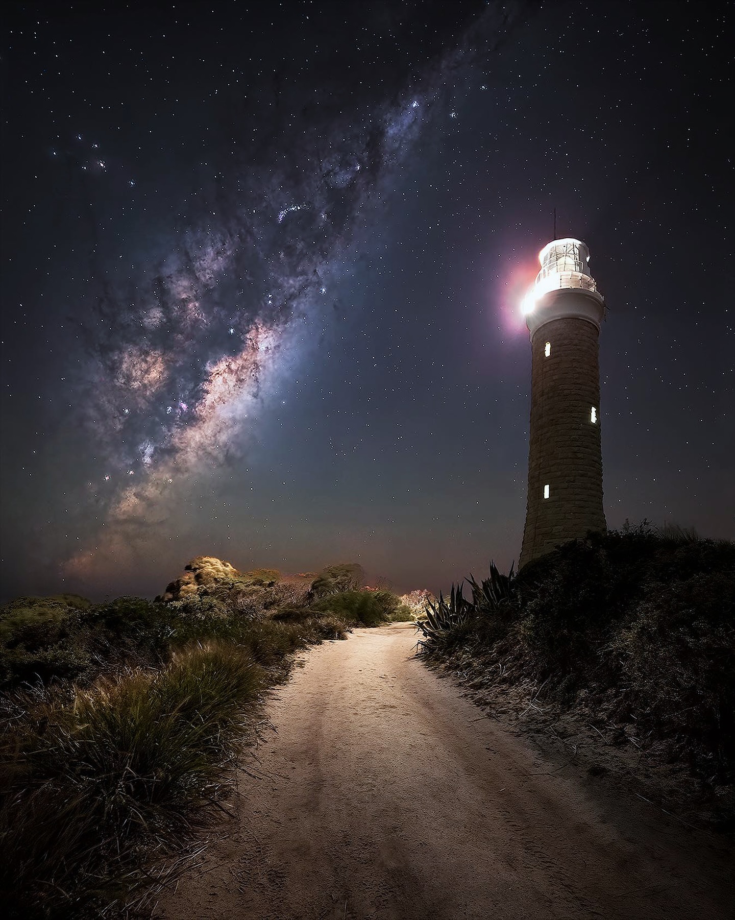
Eddystone Point at Tasmania's eastern edge
Drive beyond Gladstone to the granite lighthouse and exposed coastline at the southern end of Mount William National Park.
Read the guide →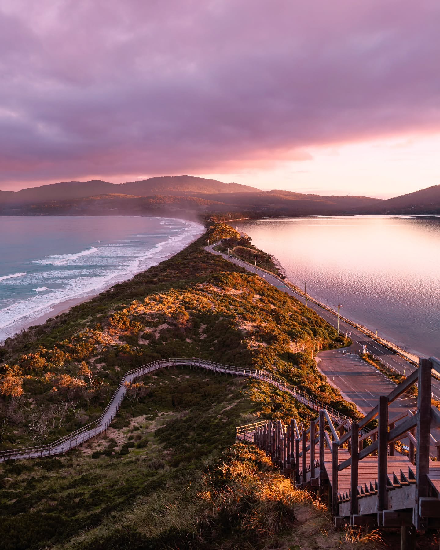
Bruny Island beyond The Neck
Use The Neck as the midpoint, then keep going for coastal walks, wildlife and the southern end of the island.
Read the guide →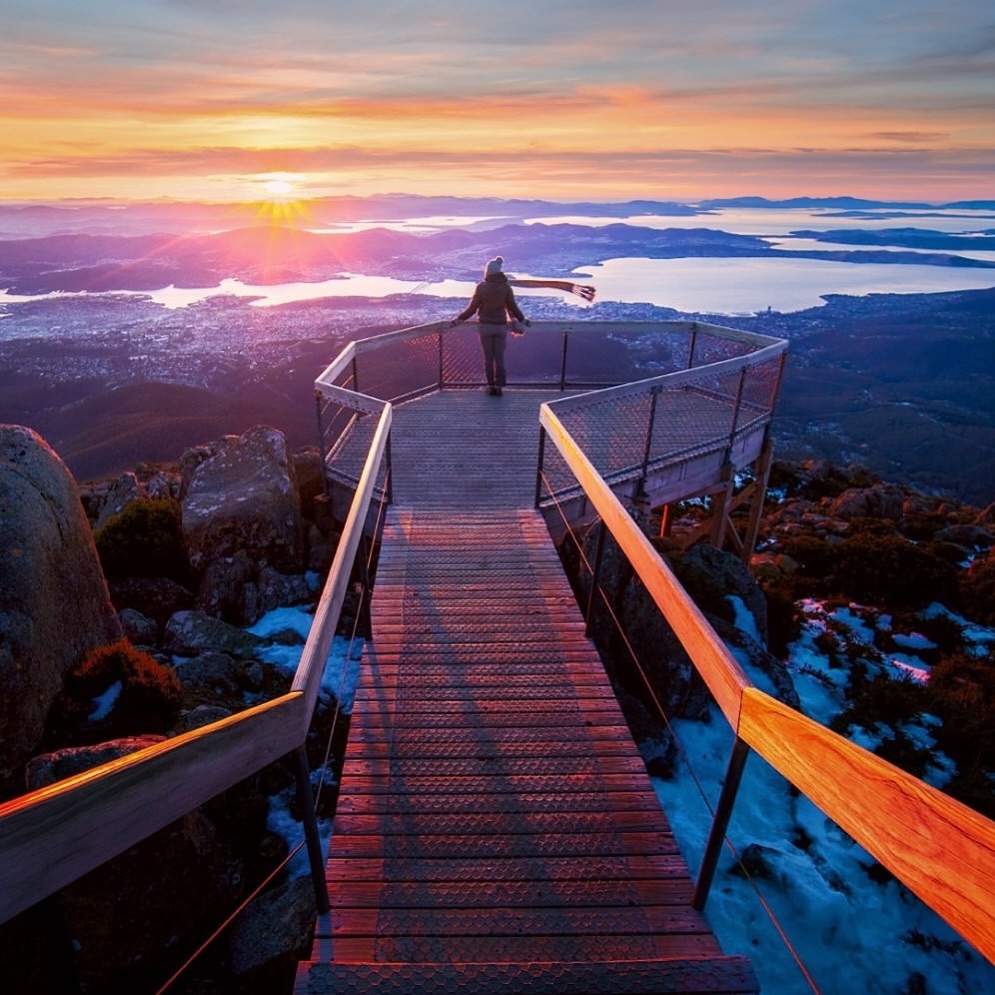
Above Hobart on kunanyi / Mount Wellington
Drive to the 1,271 m summit, then use The Springs for short lookouts or the Organ Pipes walk.
Read the guide →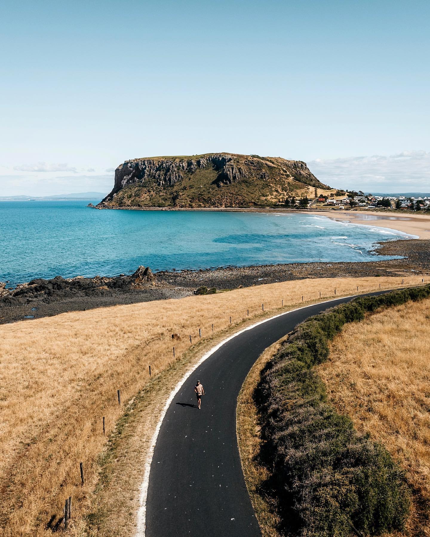
Stanley from the top of The Nut
Climb above the town, then come back down for the harbour, Highfield and the north-west coast.
Read the guide →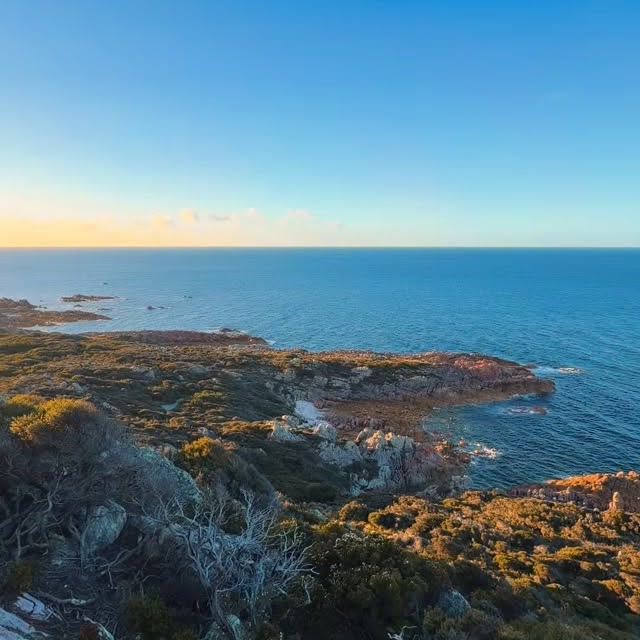
Along the coast at Rocky Cape
Choose a short cave-and-headland circuit or spend half a day walking the heath above Bass Strait.
Read the guide →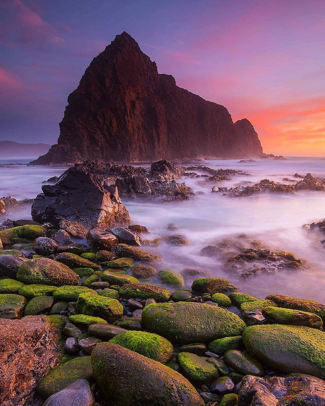
Beyond the road at Cockle Creek
At the end of the road south of Hobart, Recherche Bay gives way to forest, open country and a long walk to the Southern Ocean.
Read the guide →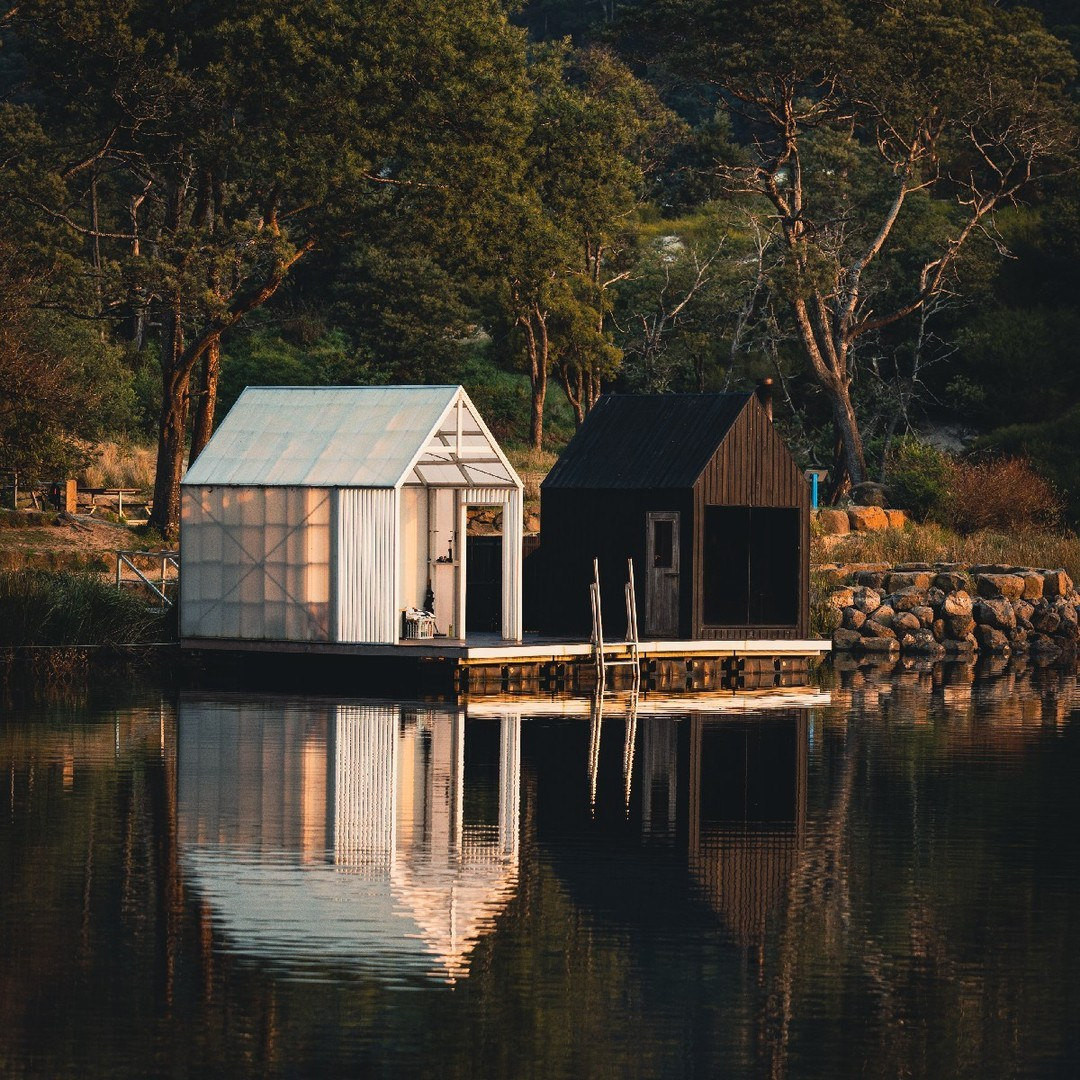
Into the trails around Derby
An old North-East mining town now serves as a base for forest mountain biking, with trails for different abilities and places worth discovering off the bike.
Read the guide →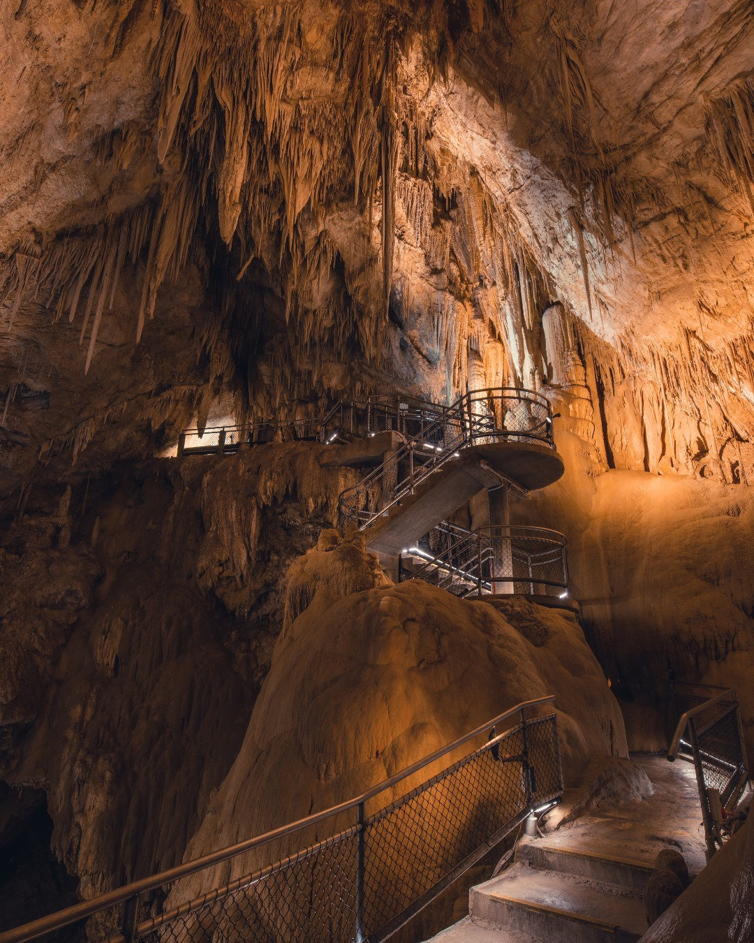
Underground at Hastings Caves
In Tasmania’s Far South, a guided cave visit can be paired with a warm spring-fed pool and short forest walks.
Read the guide →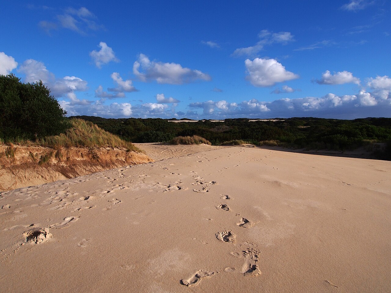
Across the sand at Henty Dunes
Just beyond Strahan, a wide dune field gives way to an exposed West Coast beach where the Southern Ocean sets the conditions.
Read the guide →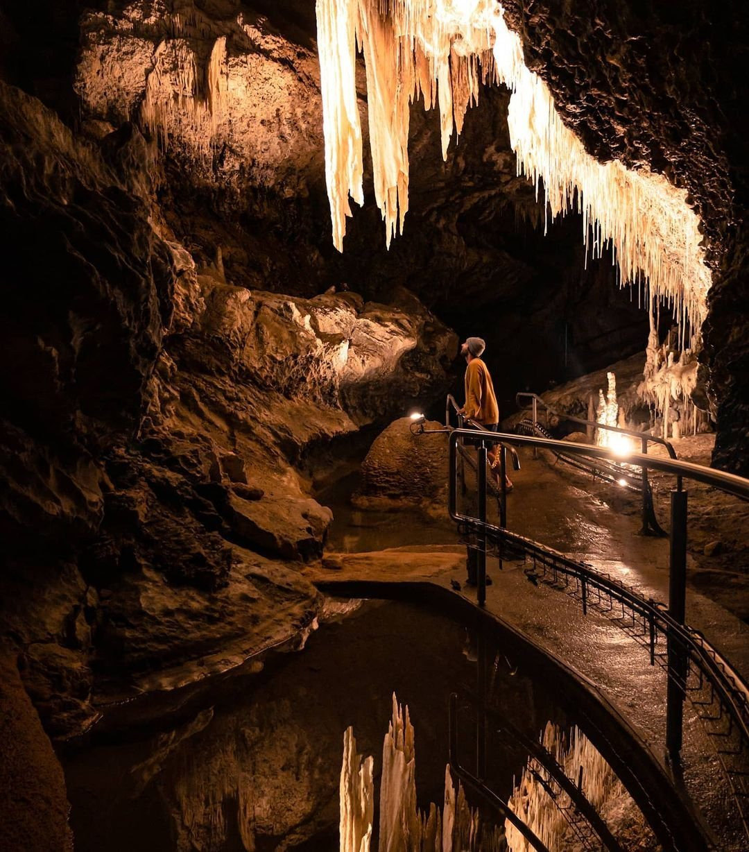
Inside the caves at Mole Creek
Marakoopa and King Solomons caves offer different underground journeys through the limestone country west of Deloraine.
Read the guide →
A day at MONA beside the Derwent
The Museum of Old and New Art is as much about the journey north of Hobart and the way through the building as it is about any single artwork.
Read the guide →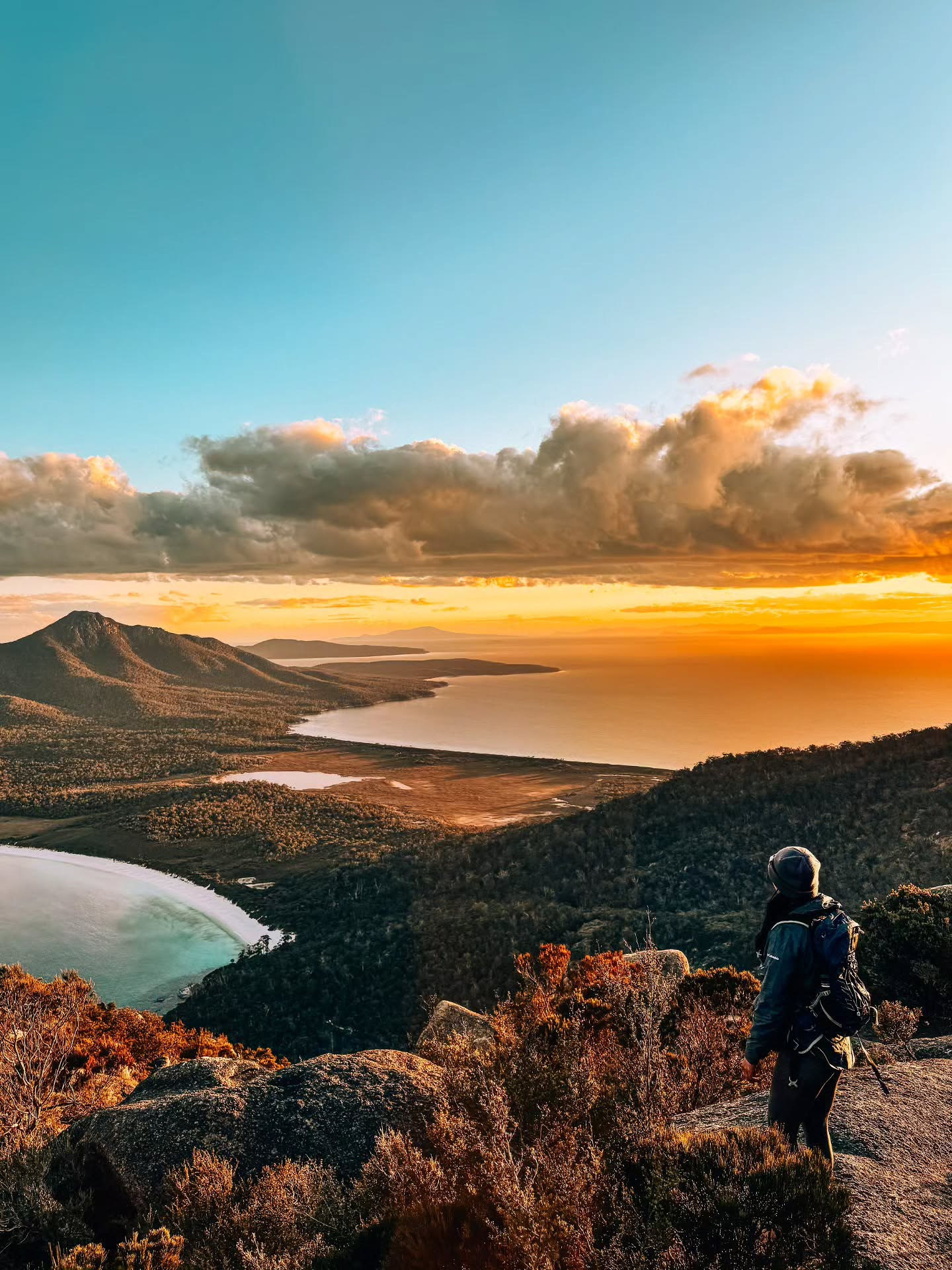
The steep way up Mount Amos
A strenuous granite climb above Freycinet gives a different view of Wineglass Bay, but this is not an alternative to the standard lookout walk for everyone.
Read the guide →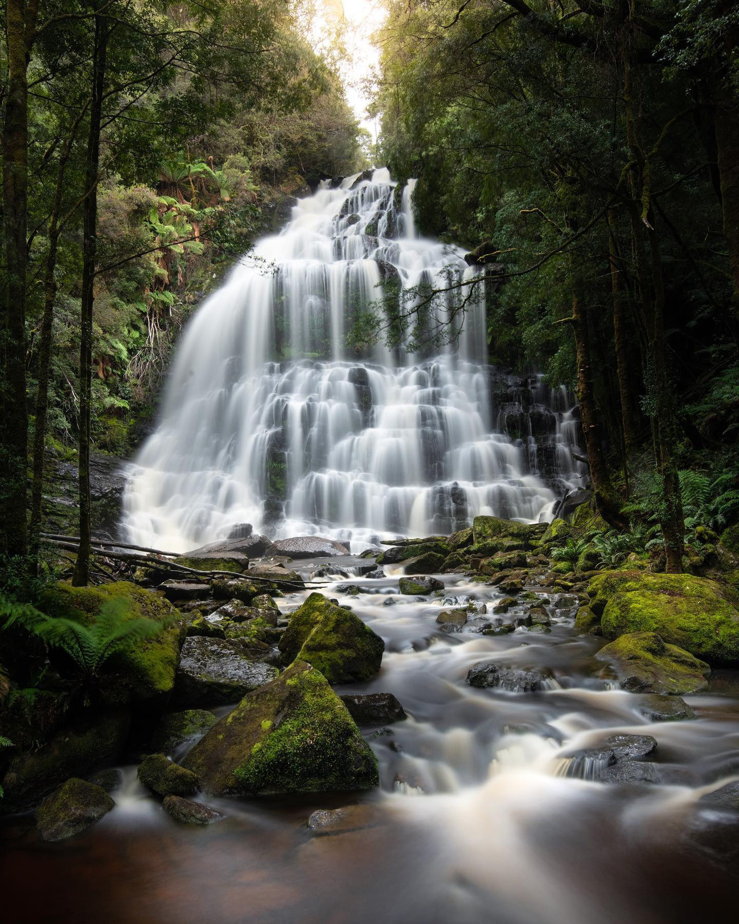
A rainforest pause at Nelson Falls
Beside the Lyell Highway, a short forest walk reaches a waterfall amid the wet landscapes of Tasmania’s western wilderness.
Read the guide →