
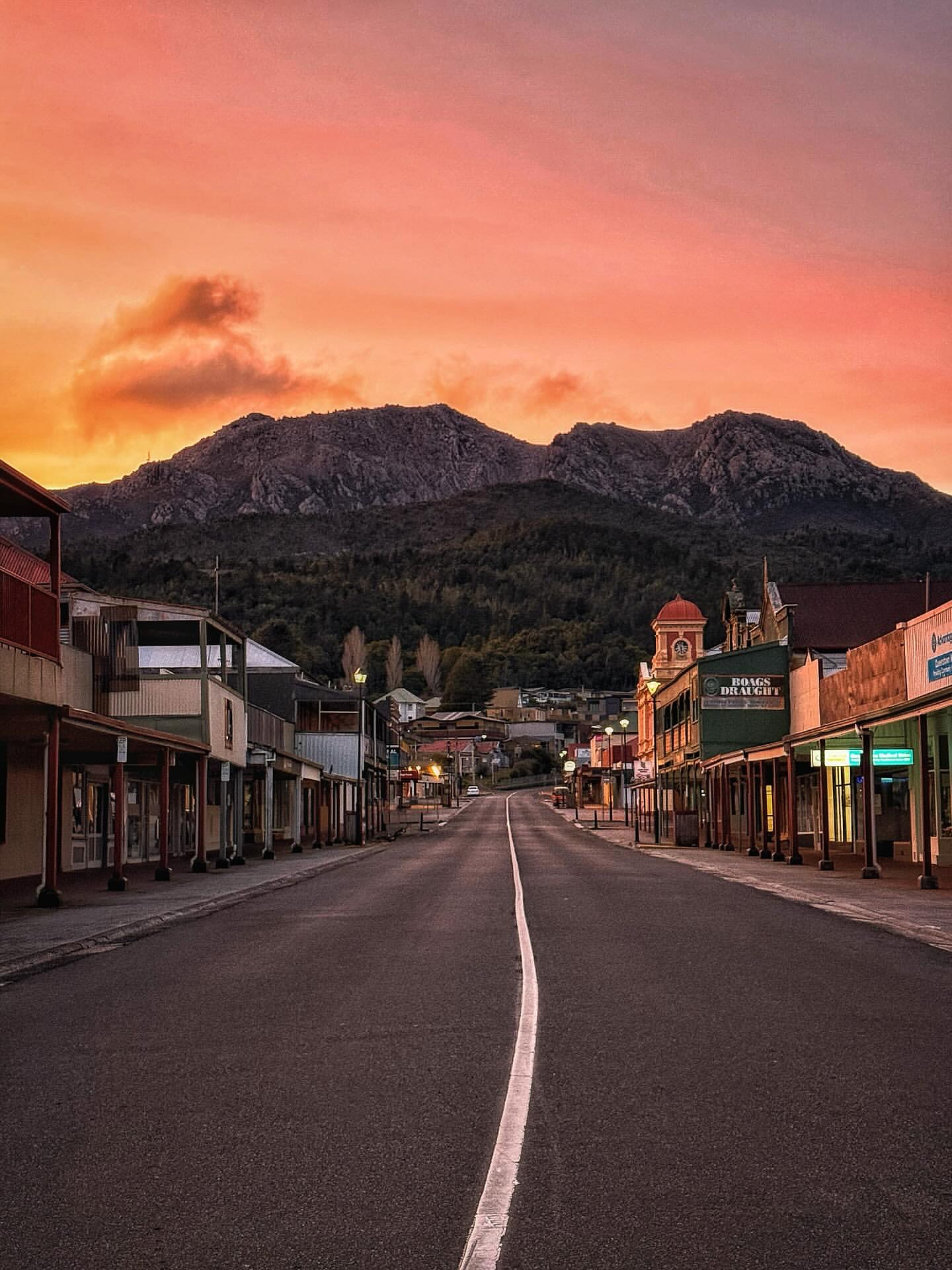
Queenstown makes more sense when you look beyond the main street. The town sits beneath Mount Owen in a landscape visibly altered by more than a century of mining, with exposed slopes, old industrial infrastructure and steep roads entering from both directions.
Rather than treating Queenstown only as a base for Strahan, give it at least half a day. The town, Iron Blow and the road over the surrounding range form one coherent West Coast story.
How to get there
Queenstown is roughly 260 km and three and a half hours from Hobart, or about 197 km and two and a half hours from Devonport. Whichever direction you approach from, the last section is part of the experience.
From Hobart, the Lyell Highway crosses the high country before descending towards Queenstown. From the north, the Murchison Highway approaches through the West Coast ranges. Roads can be wet, icy or foggy in poor weather, so allow more time than a city-to-city distance might suggest.
What to see
The town centre
Start on Orr Street and the surrounding blocks. Heritage shopfronts sit beneath Mount Owen, while landmarks including the Empire Hotel and restored Paragon Theatre give the centre more architectural interest than the town's industrial reputation suggests.
Spion Kop is the useful short lookout. From above the town you can see the gravel football ground, rooftops and the stripped and revegetating slopes surrounding Queenstown in one view.
Iron Blow
Drive east out of Queenstown towards the former Iron Blow mine. The lookout sits above the historic open cut where mining helped establish the district. Its coloured water and exposed rock make the industrial history visible rather than abstract.
Use the formed lookout and barriers. The site is an old mine, not an informal walking area.
Horsetail Falls and the 99 Bends
The Lyell Highway east of town is one of Tasmania's most dramatic road approaches. The bends climb steeply away from Queenstown, with viewpoints back over the town and surrounding ranges.
Horsetail Falls is reached from a short roadside walk on this approach. It works well with Iron Blow as a compact loop from town without requiring a full bushwalk.
West Coast Wilderness Railway
If you have a full day, the West Coast Wilderness Railway adds the deeper transport story. The historic railway was built to connect Queenstown's copper mines with the port at Strahan and uses the Abt rack system on its steepest sections.
Services and route lengths vary with maintenance and timetables, so treat the railway as a booked activity rather than something to add spontaneously to a tightly planned day.
Timing
Allow half a day for the town centre, Spion Kop, Iron Blow and a short stop on the Lyell Highway. That is enough to understand Queenstown without simply driving through.
Allow a full day if you book the railway or want to combine Queenstown with longer walking or mountain-bike plans. If Strahan is also on the itinerary, avoid packing both towns and a long rail journey into the same day.