
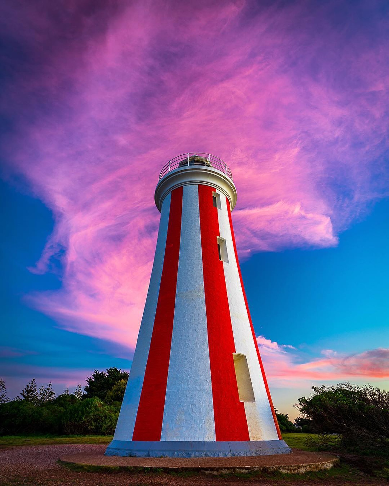
Devonport is best known as Tasmania's northern ferry gateway, but the city becomes much more interesting at Mersey Bluff. The red-and-white lighthouse stands above Bass Strait, short coastal paths wrap around the headland and the same bluff carries a much older Aboriginal cultural history.
This is a compact guide rather than a city checklist. The aim is to make the most of the bluff and the foreshore before continuing through the north-west.
How to get there
Mersey Bluff is only a few minutes west of central Devonport. Follow Bluff Road towards the headland and use the signed parking areas around the lighthouse, beach and reserve.
Devonport is around one hour and fifteen minutes from Launceston by road. If you have arrived on the Spirit of Tasmania, the bluff is on the opposite side of the Mersey River from the East Devonport terminal.
What to see and do
Mersey Bluff Lighthouse
The lighthouse is the visual marker for the whole precinct. Its red vertical bands make it unusually distinctive, and the surrounding headland opens directly onto Bass Strait and the Mersey River entrance.
Come for the broader bluff rather than a tower visit. The best views are from the surrounding paths and coastal reserve, especially when the light catches the striped tower against the open sea.
The headland and cultural discovery walk
Devonport City Council lists a 0.4 km Mersey Bluff Cultural Discovery Walk west of Tiagarra, taking around seven minutes before stops. The short distance is deceptive because the point is the setting and interpretation rather than exercise.
Tiagarra sits on an Aboriginal cultural landscape of deep significance. The cultural centre currently opens for pre-booked group tours rather than operating as a conventional drop-in museum, so check arrangements before assuming the building will be open.
Beach, lighthouse and foreshore paths
The council's beach-and-headland route between the surf club and lighthouse is about 0.6 km and takes roughly 11 minutes. From there, the wider walking network continues around Coles Beach, the Mersey River breakwater and Victoria Parade.
This is where Devonport works best for a visitor: short sections can be joined into a longer waterfront wander without needing a dedicated hiking plan.
Coles Beach and the river entrance
Coles Beach sits west of the bluff with toilets, picnic facilities and a sealed walking and cycling connection. On the other side, the river entrance gives a clear view of how closely Devonport is tied to Bass Strait shipping.
How much time to allow
Two hours is enough for the lighthouse, a headland loop and one beach stop. Allow half a day if you want to continue along the foreshore, stop for lunch and spend time around the cultural landscape rather than treating the lighthouse as a photograph-and-leave stop.
Practical notes
- The coastal paths are exposed to Bass Strait weather, so wind can change the feel of the bluff quickly.
- Tiagarra currently operates pre-booked group tours for groups of 10 or more. Check directly before planning an interior visit.
- Use established paths and respect cultural-site signage around the bluff.
- Public toilets are available around the Mersey Bluff foreshore precinct.
- Coles Beach and the city foreshore can be linked by council walking and cycling paths.
A suggested plan
Start at Mersey Bluff Lighthouse, walk the headland and cultural discovery route, then drop to the beach-and-headland path. Continue towards Coles Beach if the weather is good, or return towards the Mersey River foreshore for lunch and a shorter city walk.