
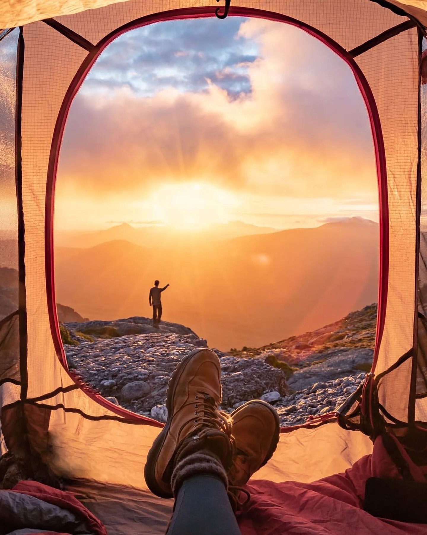
Mount Tyndall is not a polished short walk. The appeal is precisely that the route quickly leaves the road and enters a rough West Coast alpine landscape, with quartzite underfoot, small tarns and weather that can hide the surrounding ridges as quickly as it reveals them.
This is a guide for experienced and well-prepared walkers. The existing summit route is not one of Tasmania Parks and Wildlife Service's graded Great Short Walks, and the higher section should not be treated like a continuously formed tourist track.
How to get there
Mount Tyndall is reached from Anthony Road, north-east of Queenstown. The western access leaves the road near the Tyndall Range and climbs steeply into the alpine country above.
There are no visitor-centre facilities at the start. Bring an offline topographic map or other reliable navigation, sufficient water, warm and waterproof layers and enough daylight to turn back if conditions deteriorate. The route becomes less defined higher up and cloud can remove the visual cues that make navigation straightforward in clear weather.
What to see
The climb from Anthony Road
The first section gains height quickly through wet West Coast vegetation before the landscape opens. Once above the thicker scrub, pale quartzite and low alpine plants replace the forest and the scale of the Tyndall Range becomes much clearer.
Do not rush this section simply to reach a summit. The transition from road to alpine plateau is one of the strongest parts of the route and the steep ground is slower on the descent than it can appear on the way up.
Alpine tarns and the Tyndall plateau
Small lakes and tarns sit among the ridges above Anthony Road. In clear conditions they create the classic Tyndall landscape: white and grey rock, dark water and the larger peaks of the West Coast Range beyond.
The terrain is exposed to fast weather changes. What looks benign from the road can become cold, wet and difficult to navigate on the plateau, even outside winter.
Mount Tyndall
The summit area extends the route into rougher and less-defined country. Treat it as an alpine navigation objective rather than a signed lookout. Turnaround decisions matter more here than completing a predetermined itinerary.
For walkers with the right experience, the reward is a broad perspective over the Tyndalls and the surrounding West Coast ranges, well away from roads and towns.
Timing
Set aside most of a day. Exact times vary considerably because route choice, ground conditions and navigation all matter more here than on a built track.
Start early, especially if the forecast is uncertain. If cloud settles across the range or strong wind makes the exposed sections uncomfortable, there is no advantage in pushing higher simply because the summit was the original plan.