
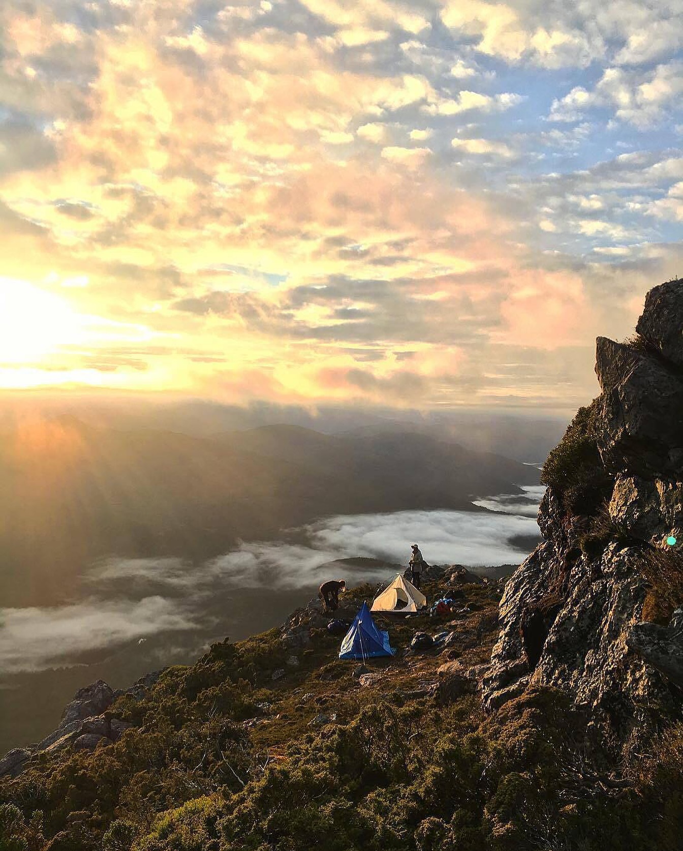
Mount Murchison is a short walk by distance and a serious one by terrain. From Anthony Road the track climbs steeply through mossy forest, reaches exposed rock and then continues across a high landscape of glacial forms towards the summit.
It is a useful counterpart to Mount Tyndall: another West Coast mountain that rewards experienced walkers, but with a more direct day-walk format and a trailhead close to Tullah.
How to get there
The track begins from the Lake Plimsoll / Anthony Road south of Tullah. West Coast Tasmania describes the walk as 6 km return with a starting elevation of about 560 m.
The roadside start is informal rather than a major visitor-centre trailhead. Arrive with the route already understood and do not expect extensive facilities or signage.
What to see and do
The forest climb
The opening section climbs steeply through wet West Coast vegetation, rocks and moss. This is not a gentle approach to a high ridge; elevation is gained quickly and the descent over the same ground can be more awkward than the climb.
The ridge and glacial landscape
Higher up, the vegetation opens and the mountain's glacial history becomes obvious in tarns, rock basins and broken ridgelines. The exposure also increases, so wind and cloud become part of the route rather than background weather.
The summit
Mount Murchison reaches 1,278 m and is the highest peak in the West Coast Range. The final route involves scrambling and exposed ground, with wide views across the range when conditions are clear.
How much time to allow
Allow at least five hours for the 6 km return walk, and more if conditions are wet or cloud slows the upper route. The short distance should not be used to justify a late start.
Make this a full-day West Coast objective. If the summit disappears into poor weather, there is little value in forcing exposed terrain simply to complete the route.
Practical notes
- This is a steep route for experienced walkers, with scrambling, exposure and high cliffs.
- The track can be slippery, particularly on the descent after rain.
- West Coast weather changes quickly. Carry navigation and clothing suitable for cold, wet and windy conditions.
- Do not rely on the short distance as a measure of difficulty; allow at least five hours.
- The trailhead is an informal roadside access point rather than a serviced major-walk facility.
A suggested plan
Start early from Anthony Road, take the forest climb steadily and reassess conditions when you reach the exposed ridge. Continue towards the summit only if visibility, wind and footing remain suitable, then allow generous time for the steep descent.